
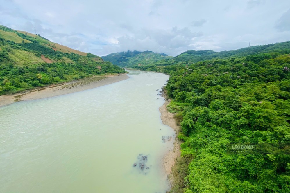
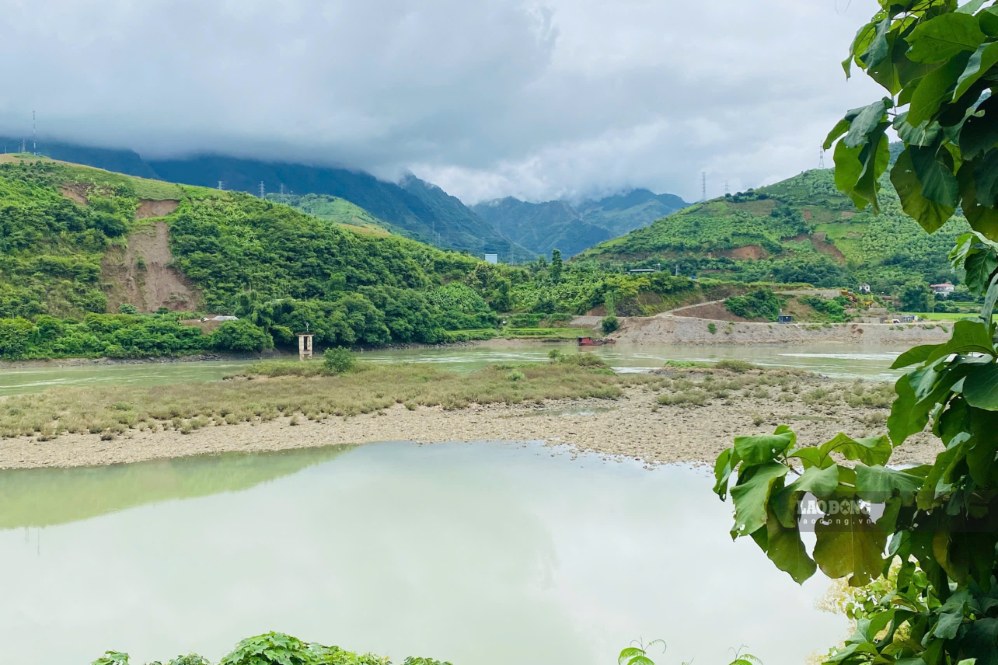
On September 17, in the Da River area through Muong Bu commune, Son La province, sand dunes in the middle of the river clearly appeared when the water level dropped.
Looking out from the shore, the sandy strips curve along the riverbed, interspersed with green water, creating a different scene at the foot of Son La Hydropower Plant.
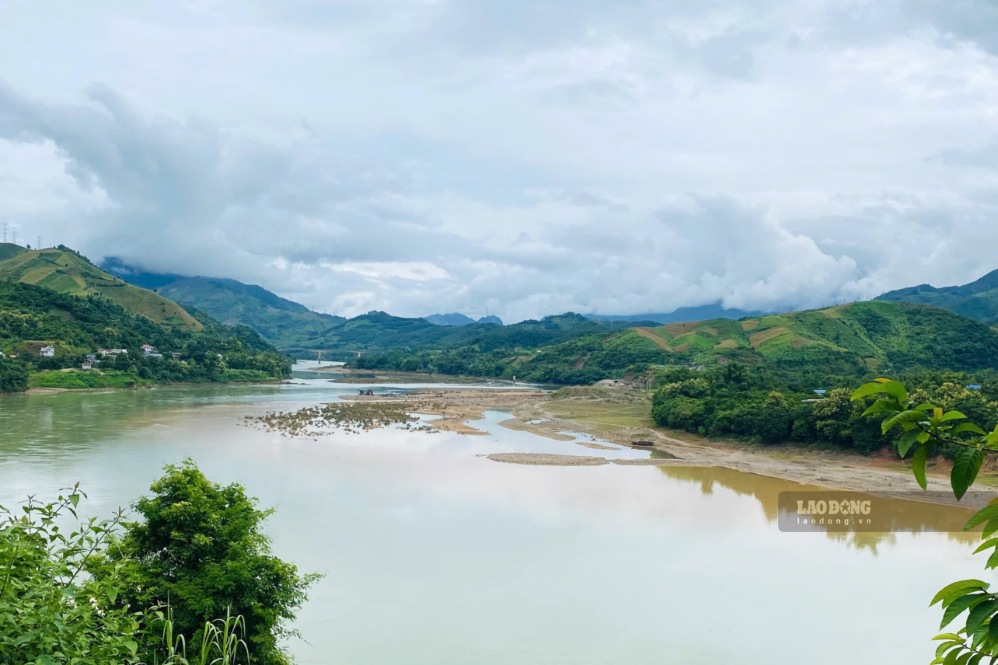
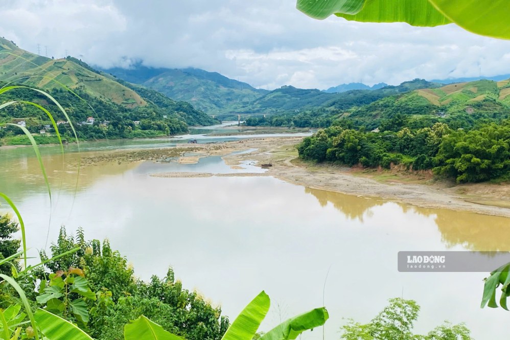
In some places, sand dunes spread out into patches, in some places only protruding from the water surface into long stretches. The river narrows, revealing more alluvial grounds along the banks. This scene creates contrasting patches of color between sand, soil and water.
While the landscape in the middle of the river changes according to the water level, in the remaining river sections, people still make a living by fishing. Small boats gradually leave the shore, people bring nets and familiar fishing tools.
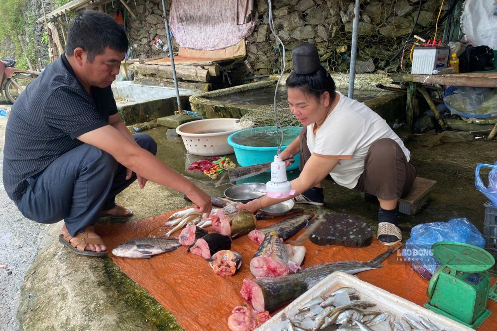
In Ta Bu village, Muong Bu commune, Mr. Lo Van Hinh said that local people still go to the river to catch fish. According to him, the work depends heavily on water and weather, but in recent days, fishing activities have still taken place normally.
People still go fishing normally. Some days they get a lot, some days less, mainly depending on the water level" - Mr. Hinh shared.
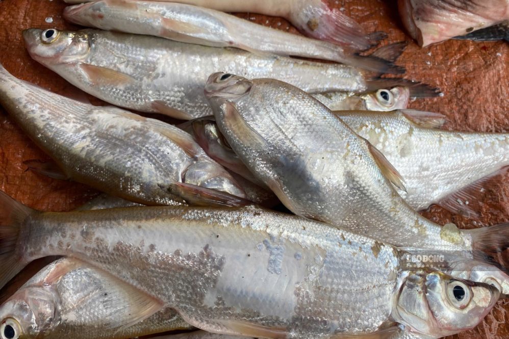
According to local people, the fish source on the Da River is quite diverse. After each fishing trip, mackerel, silver carp, catfish, canal fish and some other river fish are brought back to serve family meals or sold to people in the area.
For households that have been attached to the river for many years, casting nets and fishing has become a part of their livelihood. Changes in water levels also change fishing locations, and people proactively choose areas with water and favorable conditions for operation.
Mr. Nguyen Son Lam - Chairman of Muong Bu Commune People's Committee said that the locality regularly monitors the developments of the Da River water level, especially in areas where people live and engage in production activities.
According to Mr. Lam, at times when the water level is low, people's fishing activities are still maintained. Local authorities also remind people to pay attention to safety when operating on the river, especially when the weather changes or the water level fluctuates.
Records in the riverside area show that the sand dunes exposed in the middle of the river not only change the appearance of the Da River but also create a quite eye-catching landscape.
The pale yellow sand strips are located interspersed in the water surface, extending along the flow direction, with sections forming small sand dunes connected to each other.
However, sand dunes in the middle of the river only appear when the water level drops and can change rapidly with the flow. People need to be careful, do not arbitrarily go deep into the river or stand on unstable terrain areas.
The Da River both creates a unique landscape and is associated with the livelihoods of the people of Ta Bu village. Amidst the sand dunes rising according to the water level, nets are still dropped into the river, maintaining the fishing profession that has been associated with the lives of the people here.


