The "basin" catches water from many directions
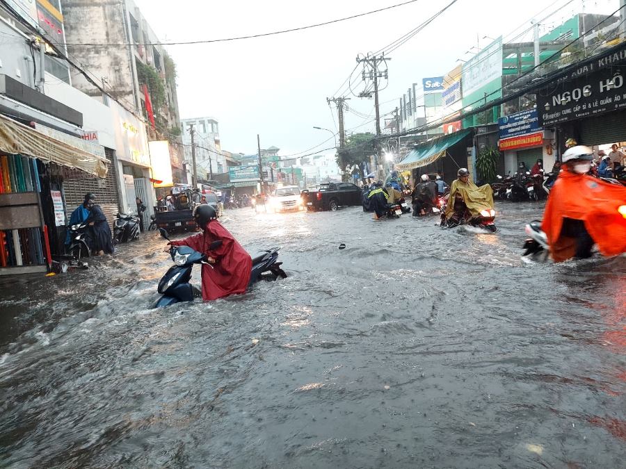
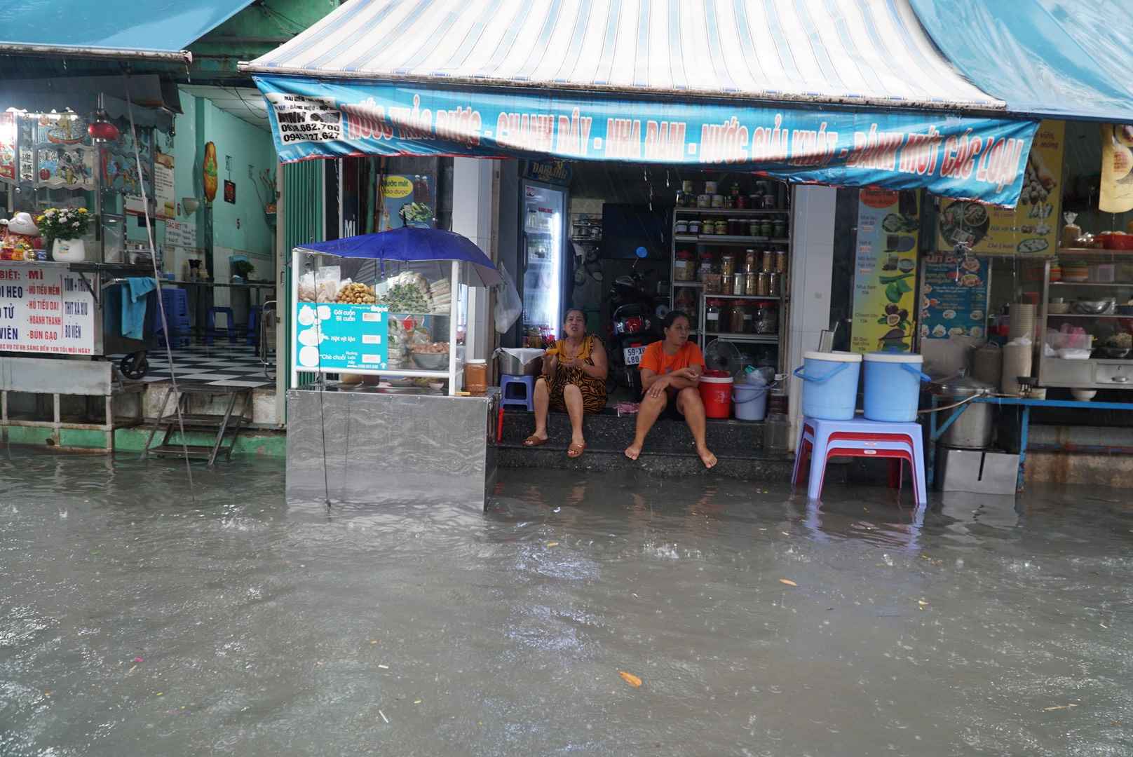
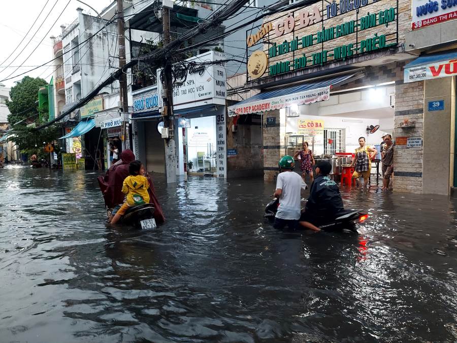
The first rain of the season in the afternoon of May 2 continued to expose the "bottleneck" of drainage that has lasted for many years in the Thu Duc market area (Thu Duc ward), when a series of surrounding roads were deeply flooded, traffic was paralyzed, and trading activities were disrupted. This situation is not new, but the level is increasingly serious, repeating like a "record" every rainy season.
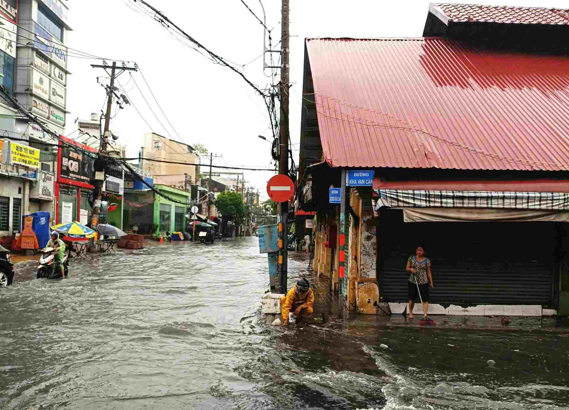
Duong Van Cam, Kha Van Can, Tam Tam Xa, To Ngoc Van and Dang Thi Ranh streets are deeply flooded from 0.2 - 0.5m.
According to the Ho Chi Minh City Department of Construction, the main reason why this area is often heavily flooded lies in the characteristic of low-lying terrain, like a "pan" receiving water from many directions.
The North receives water from the Hoang Dieu - Kha Van Can basin; the Northwest is the flow from the Di An area along the railway line and Linh Tay stream; the East, water from the Thu Duc intersection area flows to Cau Ngang canal and Thu Duc canal.
Assoc. Prof. Dr. Le Song Giang (Ho Chi Minh City University of Technology) said that this market is like lying "at the foot of the hill", becoming a convergence point of the flow. However, he believes that the planning factor is the cause of the seriousness of the problem. Many traffic routes and sewer systems all bring water to the market area, while the drainage direction downstream of Cau Ngang canal and Thu Duc canal has not been synchronously invested.
Along with the rapid rate of concretization, the ability to absorb water naturally decreases sharply, the amount of rainwater pouring into the sewer system causes overload, overflowing onto the road surface, creating a strong current.
Need comprehensive solutions, not just "patching things up
Faced with increasing pressure, the Ho Chi Minh City Department of Construction said that the Thu Duc market area is identified as one of the urgent flooding points that needs to be prioritized for handling.
Ho Chi Minh City will accelerate projects to renovate the drainage system around the market, including Duong Van Cam, Dang Thi Ranh, Kha Van Can, Ho Van Tu routes, with a total cost of about 70 billion VND.
In parallel, the project to build a new Cau Ngang canal culvert (replacing the old bridge on Kha Van Can street), started in May 2025, has reached about 95% of the volume and is expected to be completed in the second quarter of 2026. This project is expected to significantly improve the drainage capacity of the upstream area.
The city plans to invest in a drainage system along the Ngoc Thuy ditch (Truong Tho ward) with a total capital of about 85.7 billion VND, in order to share the water flow from the Vo Van Ngan road area, leading to Nha Tra canal before escaping to Thu Duc canal.
A large-scale project is being prepared for implementation, which is building embankments, renovating and dredging Thu Duc canal combined with a pumping station with a capacity of up to 120,000 m3/hour, with a total investment of more than 5,173 billion VND. This is considered a strategic solution, helping to reduce the amount of water pouring into the market area and increase drainage capacity to the Saigon River.
In addition to infrastructure projects, the Ho Chi Minh City Department of Construction also proposed piloting an underground regulating lake in the Linh Tay Football Club land area, in order to create temporary water storage space when it rains heavily.
Assoc. Prof. Dr. Nguyen Minh Hoa - Vice Chairman of the Ho Chi Minh City Planning and Development Association said that the underground regulating lake model is a necessary direction in the context of rapid urbanization and lack of land funds. However, this solution will only be effective when combined with a large-capacity pumping station system, helping to drain water quickly while waiting for the completion of canal and ditch renovation projects.
According to Assoc. Prof. Dr. Le Song Giang, to thoroughly handle the flooding situation at Thu Duc market, a comprehensive strategy is needed: reduce the amount of water pouring into this area by increasing the seepage area, adding regulating lakes, separating the flow to other basins; and at the same time improve the area's foundation, expand canal routes and add new drainage directions.


