Truong Chinh - Cong Hoa elevated road
Director of the Ho Chi Minh City Department of Construction Tran Quang Lam said that the city will deploy an elevated route along the Truong Chinh - Cong Hoa axis, the Northwest gateway area and Tan Son Nhat airport.
The route is about 11.2 km long, with a scale of 4 lanes, starting from An Suong intersection and connecting directly to the airport area.
This route will be invested in sync with the project to expand National Highway 22 to 60 m. When completed, the elevated traffic axis will contribute to a strong increase in travel capacity, meeting the large travel demand from the Northwest region to Tan Son Nhat airport and the center of Ho Chi Minh City.
Notably, the route is expected to take advantage of the median strip between Truong Chinh and Cong Hoa streets for construction, thereby reducing compensation costs, limiting clearance and reducing disruption to the lives of local residents.
Elevated road connects airport with new administrative center
Recently, Chairman of the Ho Chi Minh City People's Committee Nguyen Van Duoc assigned the Department of Construction to coordinate with departments and branches to study and supplement the elevated route from Tan Son Nhat Airport's T3 terminal to the new administrative center of the city.
The new administrative center of Ho Chi Minh City is expected to be located in the Thu Thiem New Urban Area (An Khanh Ward).
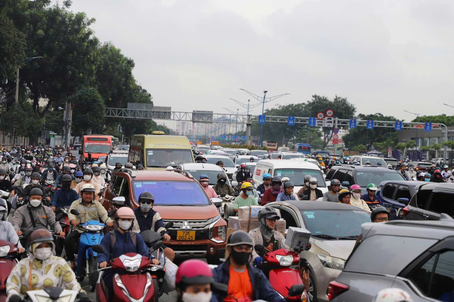
Currently, the roads connecting the airport to the center such as Cong Hoa, Nguyen Van Troi, Nam Ky Khoi Nghia, Hoang Van Thu, ... are often overloaded, causing difficulties for people and tourists.
The formation of an elevated route will create more rapid traffic axes, reducing pressure on the above-ground road system.
Xo Viet Nghe Tinh, Dinh Bo Linh elevated road, National Highway 13
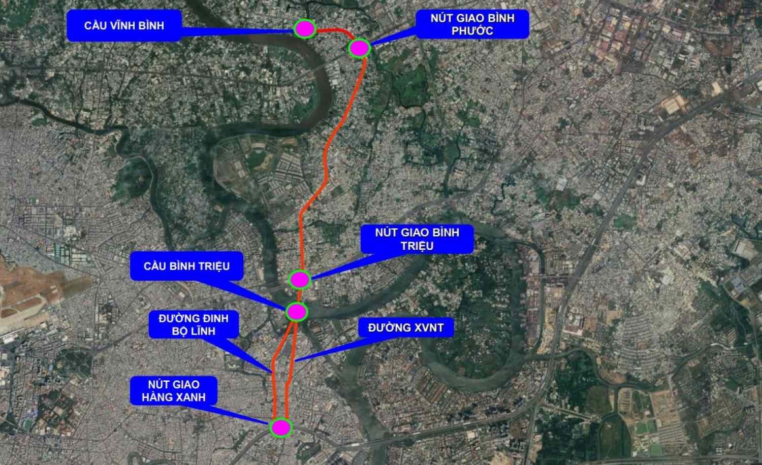
The Ho Chi Minh City Department of Construction is also studying the construction of two elevated roads on the Xo Viet Nghe Tinh and Dinh Bo Linh axes, combined with the expansion of the road surface according to the plan.
These are routes considered the " Traffic bloodline" connecting the center of Ho Chi Minh City with the Northeast region and the former Binh Duong province, and leading directly to the old Mien Dong bus station.
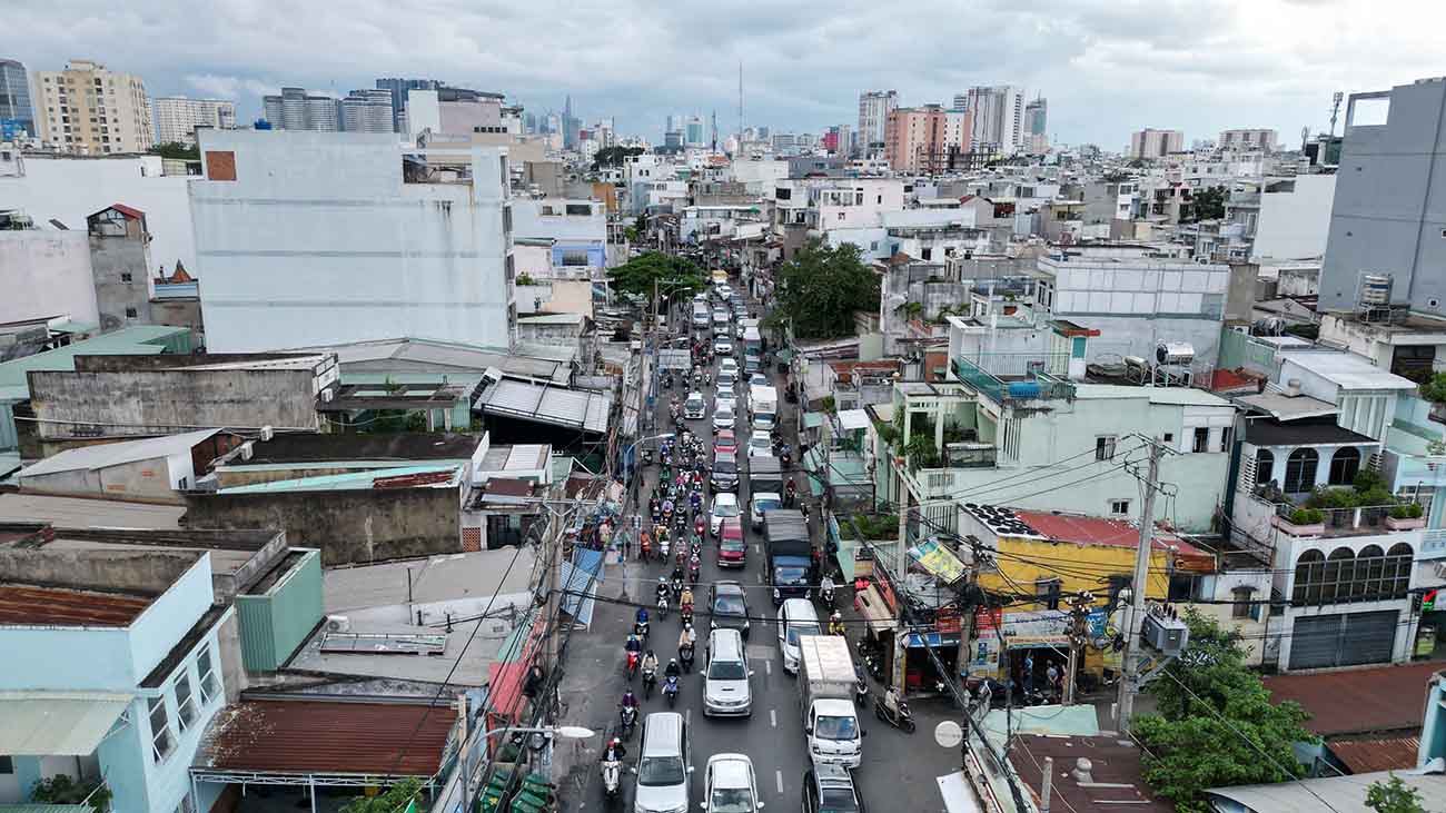
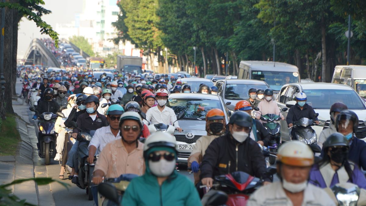
Currently, Xo Viet Nghe Tinh Street (from Hang Xanh intersection to Binh Trieu Bridge) is only about 16 - 22 m wide, while Dinh Bo Linh Street (from Binh Trieu 2 Bridge to Dien Bien Phu Street) is about 21 m wide.
With a very large volume of traffic, these two routes are often congested for a long time, especially during rush hour.
According to the Ho Chi Minh City Department of Construction, if the road surface is only expanded, the city will have to invest synchronously in a series of large intersections such as Nguyen Xi, Chu Van An, Bach Dang..., causing the total cost to be higher than the option of building an elevated road.
When combined with the project to expand National Highway 13 to 60 m (of which about 3.2 km is for the construction of a 4-lane elevated road), Ho Chi Minh City will form a continuous traffic axis from National Highway 13 to Dien Bien Phu Avenue.
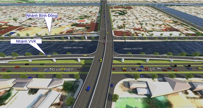
Opening an elevated road axis connecting the South
The Binh Tien Bridge and Road project is being implemented with a total length of 3.66 km, with a total investment of nearly 6,300 billion VND. The route is built entirely on high ground, 30 - 40 m wide, accommodating 4 - 6 lanes.
The route starts from the Binh Tien - Pham Van Chi intersection (formerly District 6), crosses Vo Van Kiet Avenue, Tau Hu Canal, Doi Canal, Ta Quang Buu Street (formerly District 8) and connects with Nguyen Van Linh Avenue (formerly Binh Chanh District), creating a new traffic axis connecting the South with the center of Ho Chi Minh City.
In addition, in the North-South axis upgrade project (Nguyen Huu Tho Street), the section from Nguyen Van Linh Street to Ben Luc - Long Thanh Expressway, Ho Chi Minh City will build a 7.2 km long elevated road with a scale of 4 lanes, over the total length of the entire route of 8.6 km.
When completed, this elevated route will allow cars to continuously travel from Nguyen Van Linh intersection to the expressway intersection.


