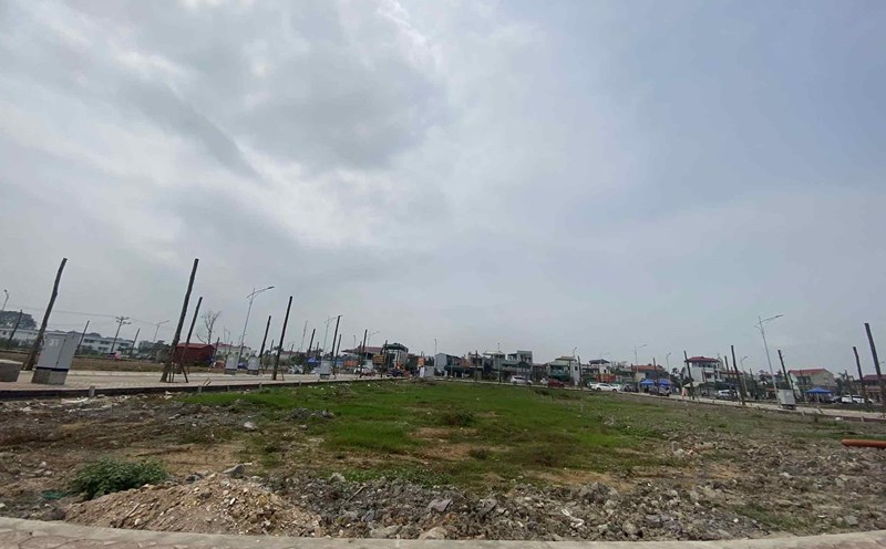
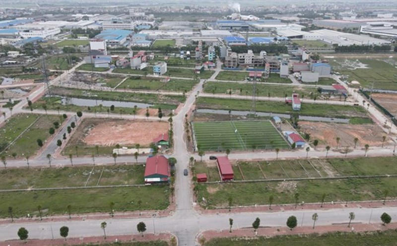
The process of separating agricultural land plots is implemented in accordance with Article 7 of Decree 101/2024/ND-CP as follows:
Step 1: Prepare records
The composition of the application when carrying out the procedure for separating the land parcel includes the following documents:
- Application for parcel separation.
- The drawing of land parcel separation is implemented by the Land Registration Office, the Branch of the Land Registration Office or the measurement unit has a license for measurement, establishing a cadastral map.
- Certificate of issued or copy of the certificate issued with the original to compare or submit a notarized or authenticated copy.
- The documents of the competent authority may show the content of land parcel separation (if any).
Step 2: Receive and resolve records
People wishing to apply to one of the following agencies:
- Land registration office
- Land registration office branch
After that, this agency will check the dossier and compare to determine the conditions for land parcel separation; Information about land user, boundaries, area and type of land of land plots on archives and records submitted by land users and implemented as follows:
- Applications are not eligible for parcel separation: In 3 working days from the date of receiving the complete dossier, the application will be returned and clearly notify the reason.
- Dossiers eligible to separate the parcel but the red book does not have a land parcel diagram or there is a lack of sizes or areas, the size of the edges is not consistent: In 3 working days from the date of receiving the complete dossier, the application will be returned and clearly notify the reason for the registration of land changes.
- The dossier does not belong to the above two cases: In 5 working days from the date of receiving a complete dossier, it will confirm the conditions for separating the parcel with land information into the application for separation of the parcel and drawing of a parcel separation to complete the registration procedure, issue a red book with a land parcel after splitting the plot, except for the case of land parcel separation and land parcel, which is implemented by the land registration office or land registration office.
After completing the procedure of separating the parcel, the information of the land parcels after separation will be established and adjusted to the cadastral map if the land user registers fluctuations and is granted a red book after splitting the parcel.
At the same time, if separating the parcel without changing the land user: The competent authority will adjust and update fluctuations into cadastral records, land databases, and issue red books for land plots after separation, give red books to land users.
If separating the parcel and changing the land user, the registration of land and property is made with land.