According to the latest low pressure news from the Joint Typhoon Warning Center (JTWC), on January 12, a new low pressure area was formed near the East Sea.
It is forecast that the low pressure area with symbol 91W is currently located in the western Pacific region, outside the Philippine responsibility area. The strongest wind near the low pressure center reaches 30 km/h. This low pressure is unlikely to develop into a tropical depression in the next 24 hours.

Due to being quite far away, the low pressure has not had much impact on the mainland Philippines.
Previously, the Philippine Atmospheric, Geophysical and Astronomical Services Administration (PAGASA) forecast a low pressure area likely to appear near the East Sea in the period from January 9-15. The low pressure area will enter the Philippine Area of Responsibility for Weather Forecasting (PAR) and begin to affect the Caraga and Davao regions this week.
PAGASA forecasts that in the next week, the low pressure area may move to the area between Eastern Visayas and the Caraga region in the middle of next week. The low pressure area is unlikely to develop strongly into a tropical depression. However, if it forms, the tropical depression will be named Ada.
It is forecast that there will be two to eight tropical storms entering PAR in the first half of 2026.
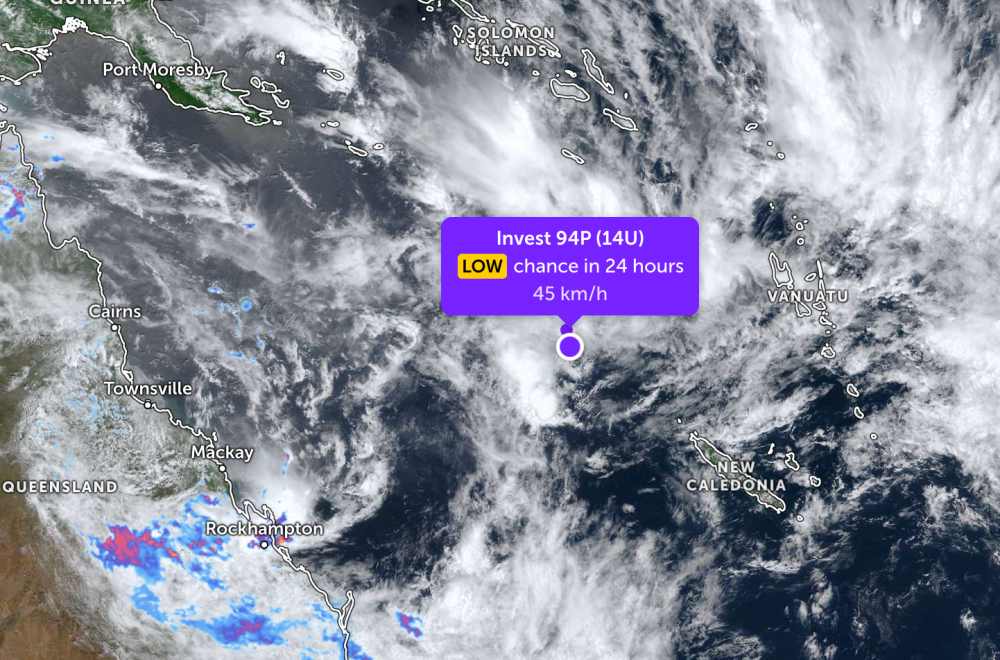
Meanwhile, in the Indian Ocean, the low pressure signature 94P is currently located near New Caledonia in the South Pacific region. The strongest wind near the center of the low pressure reaches 45 km/h. The low pressure is unlikely to develop into a tropical depression in the next 24 hours.
People and tourists who plan to go to sea areas affected by low pressure should pay attention to weather forecasts. Follow local instructions to avoid big waves and strong sea waves that are dangerous.


