According to the weather forecast from the National Center for Hydro-Meteorological Forecasting, the center of the tropical depression is at about 9.6 degrees North latitude - 126.5 degrees East longitude, in the eastern coastal area of the central Philippines.
The tropical depression will maintain an intensity of level 7 (50 - 61 km/h), gusting to level 9, moving in a West-Northwest direction at a speed of about 20 km/h today and tomorrow, November 25.
It is forecasted that by November 26, the tropical depression will move westward at a speed of about 20-25 km/h, entering the East Sea.
The center of the tropical depression on November 26 was at about 11.5 degrees North latitude - 117.0 degrees East longitude, in the northeastern sea of Truong Sa special zone, likely to strengthen into storm No. 15.
The strongest wind near the storm center is level 8, gusting to level 10. Natural disaster risk level: Level 3 for the eastern sea area of the Central and South East Sea (including the northern sea area of Truong Sa special zone).
It is forecasted that by November 26, storm No. 15 will be about 1,000 km from the South Central Coast. After that, the storm will move westward, towards the mainland of the South Central region, focusing on affecting the Gia Lai area to Lam Dong (the area from the old Binh Dinh - Binh Thuan), the main impact time is around November 28 - 30.
Due to the influence of storm No. 15, from the evening of November 25, the sea area east of the central and southern East Sea will have winds gradually increasing to level 6 - 7; the area near the storm center will have strong winds of level 8, gusts of level 10, waves 3 - 5 m high. The sea will be rough.
Around the night of November 26 - 28, the central and southern East Sea (including the northern sea area of Truong Sa) is likely to be affected by strong winds of level 9 - 10, gusting to level 13. Ship operating in the above-mentioned dangerous areas are likely to be affected by thunderstorms, whirlwinds, strong winds, and large waves.
On land, the storm will affect the South Central region, especially from the Gia Lai - Lam Dong area.
From November 28 to 30, widespread heavy rain is expected to appear in the area from Da Nang to Lam Dong, in which the coastal strip is likely to experience heavier rain than other places.
Faced with the impact of storm No. 15, the National Steering Committee for Civil Defense sent a telegram to the People's Committees of coastal provinces and cities from Quang Tri - An Giang; the ministries of National Defense, Public Security, Agriculture and Environment, Construction, Industry and Trade, Foreign Affairs, Science and Technology on proactive response.
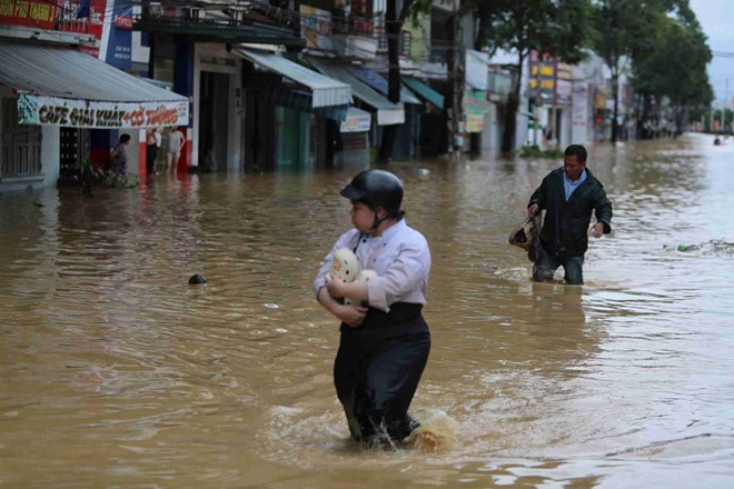
Accordingly, units need to urgently focus on implementing the overcoming of consequences, restoring production and business, stabilizing people's lives after the recent historic floods; being ready to respond to the next natural disaster.
Closely monitor warnings, forecasts and developments of tropical depressions; notify captains and owners of vehicles and boats operating at sea to proactively avoid and have appropriate production plans, ensure safety of people and property; maintain communication to promptly handle possible bad situations.
Ministries and branches, according to their functions, state management tasks and assigned tasks, proactively direct and coordinate with localities to respond to tropical depressions that are likely to strengthen into storm No. 15 and floods. Prepare forces and means to deploy rescue work when situations arise.
People and tourists coming to the South Central region at this time should consider adjusting or canceling their route. Regularly check flight schedules, trains, routes and follow local instructions to ensure safety.


