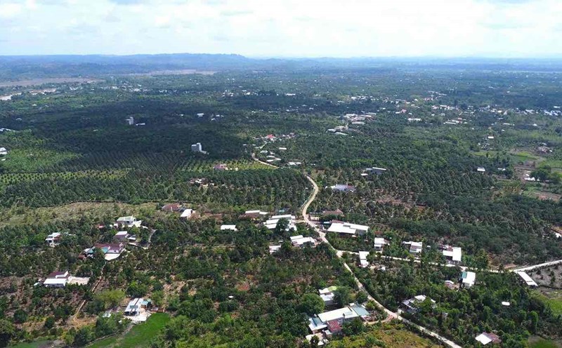
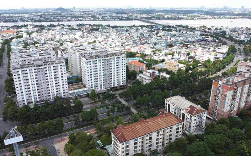
On November 25, the People's Committee of Dong Nai province approved the results of the appraisal of the environmental impact assessment report of the Trang Bom - Thanh Binh road project with a route length of about 12.3 km passing through Cay Gao and Song Trau communes and Trang Bom town (Trang Bom district).
The project invested by Trang Bom District People's Committee has the starting point of the route intersecting with DT 762 road and the end point of the route intersecting with the intersection of 30/4 road and An Duong Vuong road, Trang Bom town.
The project has a total land area of 55.49 hectares. Of which, rice land accounts for 6.897 hectares, the rest is production forest land, perennial crop land, annual crop land, aquaculture land, residential land and other types of land.
Investment scale of level 2 highway project. Of which, section 1 (outside urban areas) has a design speed of 80 km/h, section 2 (in urban areas) has a design speed of 50 km/h.


