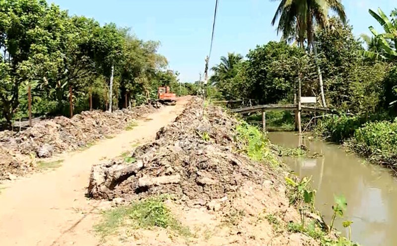
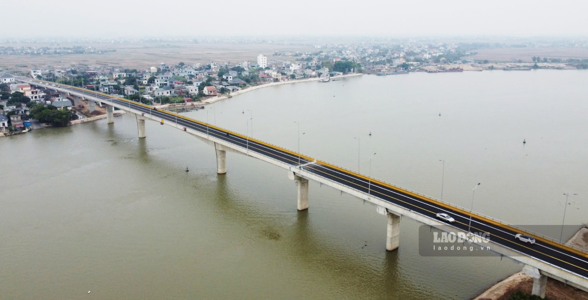
Dong Cao Bridge crosses the Dao River, connecting Nghia Hung and Y Yen districts of Nam Dinh province, part of the investment project to build a development axis connecting the Nam Dinh province's marine economic zone with the Cau Gie - Ninh Binh expressway (phase 2) with a total length of about 46km. The total investment of the project is 5,326.5 billion VND from the central budget, provincial budget and other sources of capital.
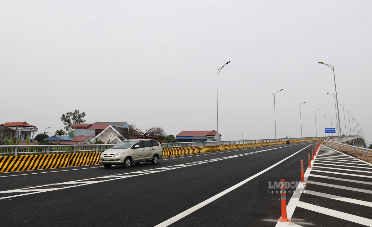
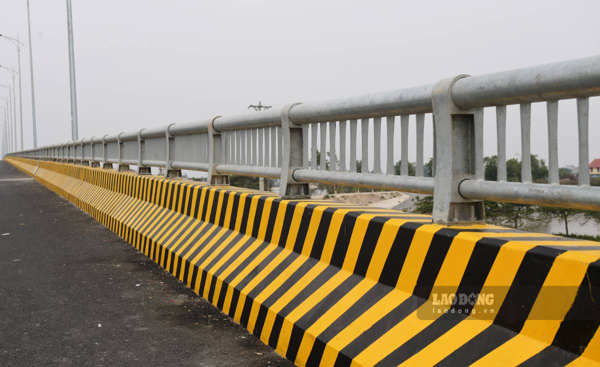
Dong Cao Bridge has 14 approach girders and 3 cantilever girders. The bridge is 12m wide and nearly 2km long, including the approach road.
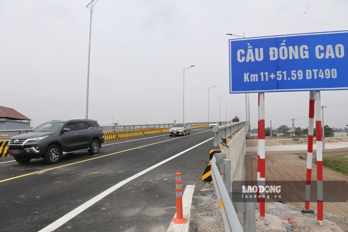
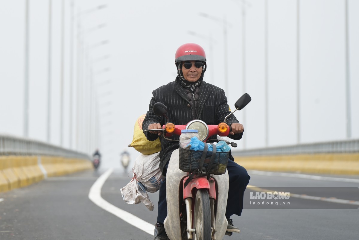
Today (January 15), the Dong Cao approach road and bridge project was put into temporary operation until the official handover date, to serve the travel needs of people, meeting the Lunar New Year 2025 in time.
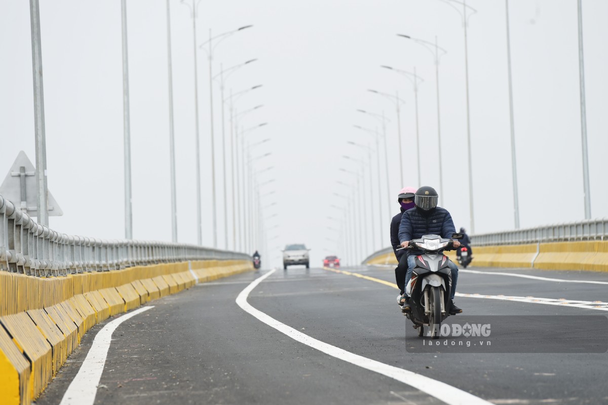
Excitedly moving across Dong Cao bridge on the first day of temporary traffic opening, Mr. Hoang Van Long (80 years old, in Nghia Hung district, Nam Dinh province) said: "For many years, our people have had a hard time moving from Nghia Hung to Y Yen because they had to wait for the ferry. On many rainy and windy days, the water level rose, making crossing the river much more difficult. Now that this bridge is open, we can move more conveniently. The bridge has been a long-standing dream of the people here."
After Dong Cao bridge and the development axis connecting Nam Dinh province's marine economic zone with Cau Gie - Ninh Binh expressway are completed, it will help improve connectivity, shorten the transportation distance between Nam Dinh province's marine economic zone and the North - South expressway, connecting the regional traffic network and the national traffic system.
At the same time, create a breakthrough in socio-economic development, promote tourism development of the coastal economic zone of Nam Dinh province in particular and the Red River Delta region in general, ensure national defense and security, prevent floods and storms. Gradually complete the province's transportation system according to the plan.