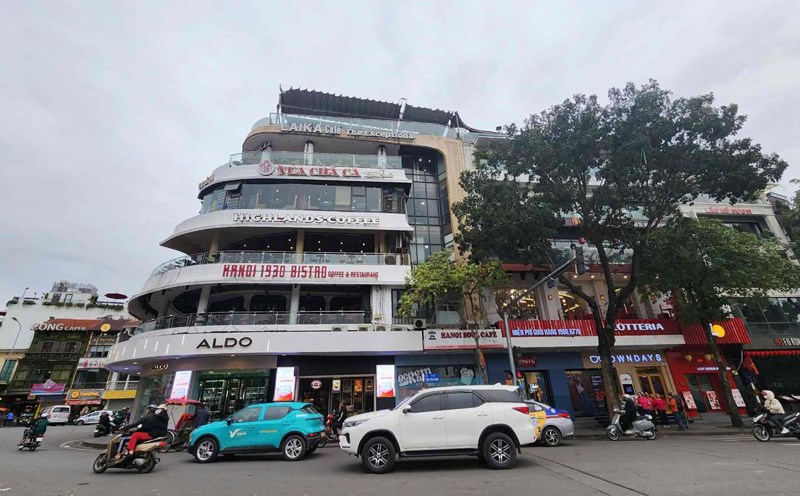
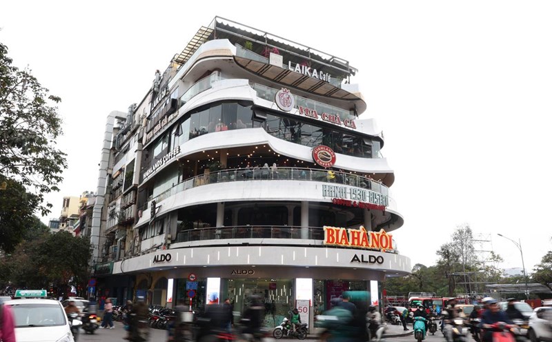
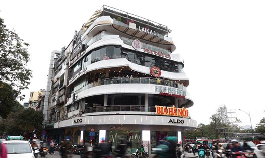
In order to serve the demolition of Ham Ca Map building and rearrange the space of Dong Kinh - Nghia Thuc Square (Hanoi), the Construction - Hanoi Police joint venture is conducting a survey and proposing a traffic organization plan in this area. Accordingly, the routes of many public bus and electric vehicle routes will be adjusted.
On March 17, a representative of the Department of Construction said that relevant units are establishing a working group to survey the scene, develop a plan to ensure safety when demolishing the building and expanding the square space.
To ensure safety for the construction process, the authorities plan to limit some vehicles from moving into the square area during the demolition period. The affected streets include Dinh Tien Hoang, Le Thai To (through the square), along with some neighboring streets such as Cau Go, Hang Gai, Hang Dao...
Regarding public transport, a representative of the Hanoi Department of Construction said that the Dong Kinh - Nghia Thuc Square area currently has a bus shuttle station with about 5 bus routes with starting and ending points here, including routes 09, 14, 86...
In addition, about 10 bus routes with stops connecting to Hoan Kiem Lake area and the square will also be affected, including routes 01, 02, 08A, 31, 34, 36, 40, 49 and the E07. electric vehicle route.
Bus routes such as 09, 14, 86... are being planned by the authorities to be relocated to a new location during the construction period. After completing the rearrangement of the square, the bus transfer point will be calculated and rearranged appropriately.
According to the plan to demolish Ham Ca Map building and expand Dong Kinh - Nghia Thuc Square, about 1.2 hectares of land will be cleared. In addition to Ham Ca Map building, 11 agencies and headquarters in this area will also be relocated and the site will be handed over to Hoan Kiem district for demolition. It is expected that the demolition of Ham Ca Map building will be completed before April 30.


