According to Mr. Nguyen Van Hiep - Deputy Director of the Northern Hydrometeorological Station, due to the impact of storm No. 10 Bualoi, on September 28 - 29, Hanoi had strong winds of level 4 - 5, gusting to level 6.
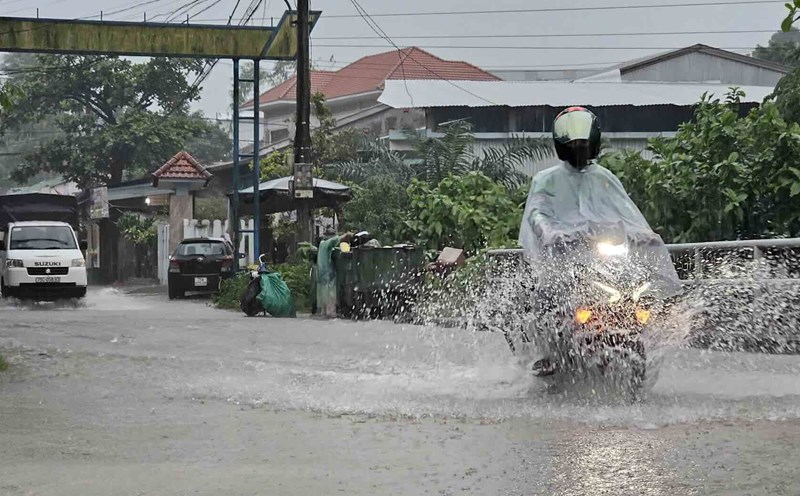
From the evening of September 28 to the evening of September 30, Hanoi will have moderate rain, heavy rain, some places with very heavy rain and thunderstorms.
"The northern area of the city will have common rainfall of 100 - 200mm, some places over 300mm. Meanwhile, the city center, the western and southern areas of the city will have common rainfall of 150 - 250mm, some places over 350mm" - Mr. Hiep said.

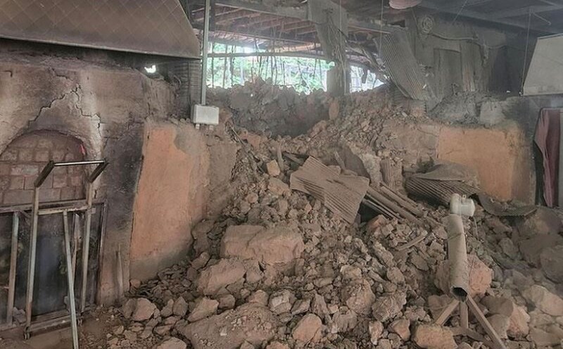
Regarding the impact of heavy rain, the meteorological agency of the North warned that thunderstorms may be accompanied by tornadoes, lightning and strong gusts of wind that will break trees, damage houses, traffic works and infrastructure.
Heavy rain in a short period of time overloaded the drainage system, causing flooding in residential areas, urban areas and low-lying areas, traffic congestion due to flooding and reduced visibility when driving, causing slippery traffic and accidents. High-intensity rain in a short period of time can cause landslides in mountainous areas, where the terrain is steep.
In fact, today, September 27, many places had rain before the storm made landfall.
In Hanoi, on the evening of September 27, through monitoring satellite images, thunderstorm location data and weather radar, it was discovered that convective clouds had developed and caused rain in the areas of Thien Loc, Me Linh, Dong Anh, Vinh Thanh, Phu Dong, Viet Hung, which were moving and expanding to the inner city of Hanoi.
This cloud area is continuing to cause rain in the above wards/communes, then will spread to other wards/communes in Hanoi's inner city.
According to the National Center for Hydro-Meteorological Forecasting, the area from Thanh Hoa to Quang Ngai will have moderate rain, heavy rain, some places will have very heavy rain and thunderstorms. Rainfall from 7am to 3pm on September 27 was measured by monitoring stations over 170mm such as: Chau Phong 1 station (Nghe An) 182.6mm, Dong Ha station (Quang Tri) 203mm, Quang Thanh station (Hue city) 179mm, Hoa Khuong station (Da Nang city) 180mm,...
From the evening of September 27 to September 29, in the Thanh Hoa area to the North of Quang Tri, there will be heavy to very heavy rain with common rainfall of 200 - 400mm, locally over 600mm; the area from South Quang Tri to Quang Ngai will generally have 100 - 300mm, some places over 400mm. Warning of the risk of heavy rain with rainfall greater than 100mm within 1 hour.
From the afternoon of September 28 to September 29, the Northern and Southern Phu Tho Delta will have heavy rain, locally very heavy rain with common rainfall of 150-300mm, locally over 450mm. Other areas in the North will have moderate rain, heavy rain with common rainfall of 70 - 150mm, locally very heavy rain over 250mm. Warning of the risk of heavy rain with rainfall greater than 100mm within 3 hours.
On the night of September 29 and September 30, the Northern region, Thanh Hoa and Nghe An will have heavy to very heavy rain with common rainfall of 30 - 70mm, locally over 150mm. In the Northern Delta and Southern Phu Tho, the average is 50 - 100mm, locally over 200mm.
The meteorological agency warns that the risk of natural disasters due to heavy rain, tornadoes, lightning, and hail is level 1, especially in the area from Thanh Hoa to Bac Quang Tri.