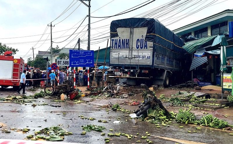
On the afternoon of September 26, the Ministry of Agriculture and Environment held a meeting to respond to storm No. 10 Bualoi.
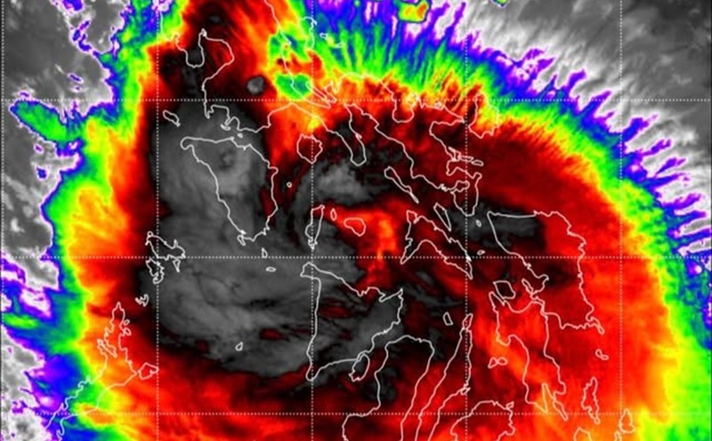
Mr. Mai Van Khiem - Director of the National Center for Hydro-Meteorological Forecasting - said that tonight, September 26, the storm entered the eastern sea area of the Central East Sea and became the 10th storm of 2025.
Storm Bualoi moves very fast at 25 - 35km/h (twice as fast as a normal storm); reaching the strongest intensity of level 13, gusting to level 16 in the Hoang Sa special area on September 28.
Expected to make landfall in Thanh Hoa - Ha Tinh provinces with an intensity of level 12, gusting to level 15 on the morning of September 29. A representative of the meteorological agency has issued a warning for areas greatly affected by storm No. 10 Bualoi after making landfall.
On land
The heavy rain area is forecast to be concentrated in the North, Thanh Hoa, Nghe An, Ha Tinh, and Bac Quang Tri. Heavy rain also depends on the direction of movement on September 28 - 30 due to the impact of the subtropical high pressure system.
Warning of flash floods and landslides in the midlands and mountainous areas of the North, Thanh Hoa - Quang Tri provinces.
Flood warning on rivers in the Northern region, from Thanh Hoa to Quang Tri, there will be 1 flood, the flood peak may be level BD1 - BD2, some places above BD3.
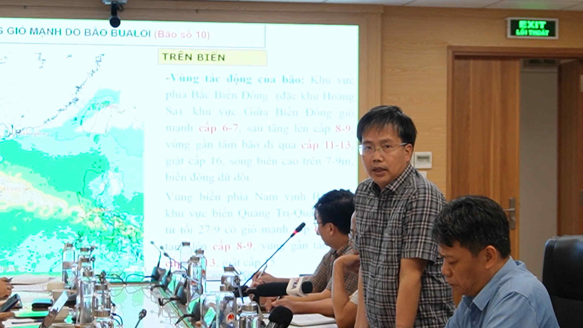
Area of impact of storms at sea
The northern East Sea area (specifically Hoang Sa area), the Central East Sea area has strong winds of level 6 - 7, then increasing to level 8 - 9, the area near the storm's eye has level 11 - 3, gusts of level 16, waves over 7 - 9m high; the sea is very rough.
The sea area south of the Gulf of Tonkin, the sea area of Quang Tri - Quang Ngai from the evening of September 27 will have strong winds of level 6 - 7, then increase to level 8 - 9, near the storm center level 10 - 13, gusting to level 15.
Ship operating in the above-mentioned dangerous areas are likely to be affected by thunderstorms, whirlwinds, strong winds, and large waves.