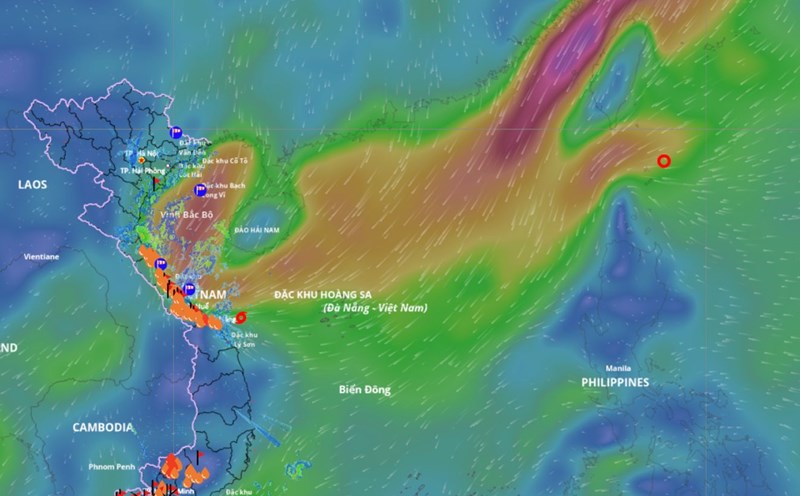
According to the National Center for Hydro-Meteorological Forecasting, this afternoon (October 23), the tropical depression has entered the eastern sea area of the northern East Sea.
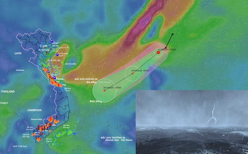
At 1:00 p.m. on October 23, the center of the tropical depression was at about 19 degrees north latitude; 119.7 degrees east longitude. The strongest wind near the center of the tropical depression is level 6 (39 - 49 km/h), gusting to level 8. The tropical depression is moving southwest at a speed of about 25 km/h.
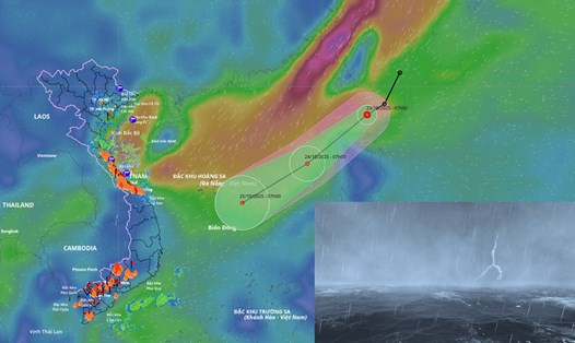
It is forecasted that in the next 24 hours, the tropical depression will move southwest, at a speed of about 25 km/h and will gradually weaken into a low pressure area. At 1:00 p.m. on October 24, the center of the low pressure area was at about 16.1 degrees north latitude; 115.1 degrees east longitude, in the northern East Sea. The intensity decreases to below level 6.
The dangerous area in the next 24 hours will be identified in the north of latitude 16 degrees north and east of longitude 116 degrees east. The natural disaster risk level is level 3 for the eastern sea area of the northern East Sea.
Due to the influence of the tropical depression combined with the strengthening of cold air, the sea area east of the northern East Sea will have strong winds of level 6 - 7, gusts of level 9, waves 3 - 5 m high, and rough seas. Ship operating in the above-mentioned dangerous area are likely to be affected by thunderstorms, whirlwinds, strong winds and large waves.