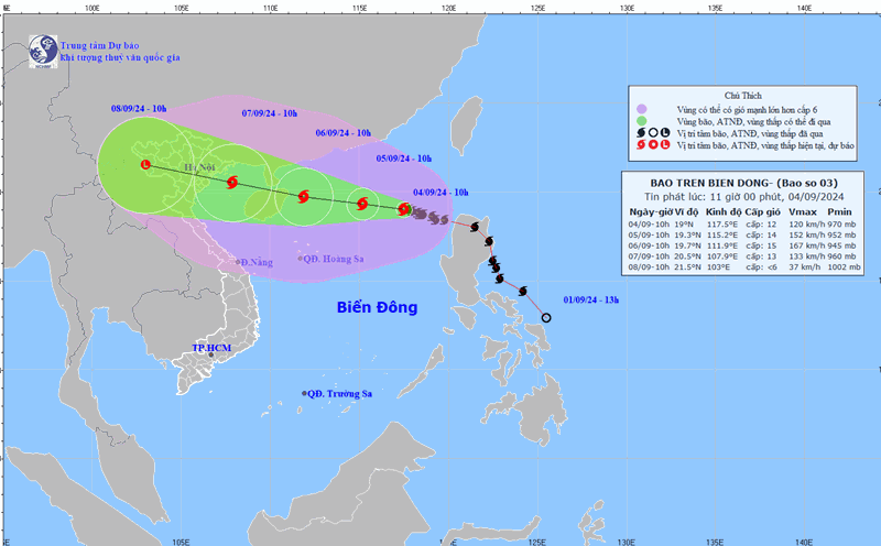
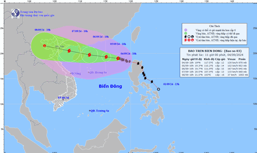
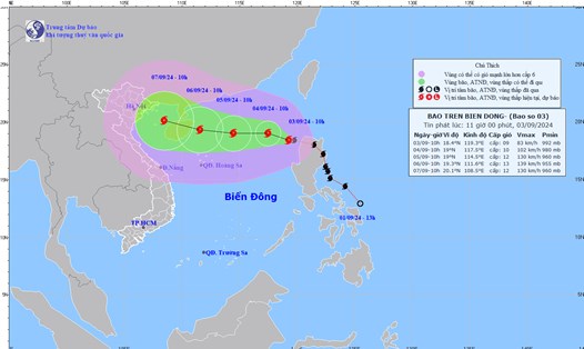
Latest update from the National Center for Hydro-Meteorological Forecasting, at 10:00 a.m., the center of storm No. 3 was at about 19.1 degrees north latitude; 115.5 degrees east longitude, in the northern sea area of the North East Sea, about 490km east of Hainan Island (China).
The strongest wind near the storm center is level 16 (184-201km/h), gusting over level 17, moving west at a speed of about 10km/h.
It is forecasted that in the next 24 hours , storm No. 3 will move west-northwest at a speed of 10 - 15 km/h. At 10:00 on September 6, the center of the storm will be at about 19.8 degrees north latitude - 112.2 degrees east longitude; about 120 km east of Hainan Island (China), about 550 km east-southeast of Quang Ninh.
The strongest wind near the storm center is level 16, gusting over level 17.
It is forecasted that in the next 48 hours , storm No. 3 will move west-northwest at a speed of 15 - 20km/h. At 10:00 on September 7, the center of the storm will be at about 20.7 degrees north latitude - 108.3 degrees east longitude; in the northern Gulf of Tonkin, about 120km east-southeast of Quang Ninh.
The strongest wind near the storm center is level 13, gusting to level 16.
It is forecasted that in the next 72 hours , storm No. 3 will move west-northwest at a speed of 20km/h and gradually weaken into a low pressure area. At 10:00 a.m. on September 8, the center of the low pressure area will be at about 22 degrees north latitude - 103.8 degrees east longitude; in the Northwest region.
Regarding the impact of the storm , the North East Sea area has strong winds of level 11-13, near the eye of the storm level 15-16, gusting above level 17; rough seas; waves 7-9m high, near the eye of the storm 10-12m.
From noon on September 6, the Gulf of Tonkin (including Bach Long Vi and Co To island districts) will have winds gradually increasing to level 6-7, then increasing to level 8-9, then increasing to level 10-12, near the storm's eye level 13-14, gusting to level 17; rough seas; waves 2-4m high, then increasing to 3-5m, near the storm's eye 6-8m.
From early morning on September 7, coastal waters from Quang Ninh to Thanh Hoa provinces had waves 2-3m high, later increasing to 2-4m, and near the storm center 3-5m.
Coastal provinces from Thanh Hoa to Quang Ninh need to be on guard against storm surges of 0.5 - 1.8m high in the afternoon and night of September 7.
Boat mooring areas, aquaculture areas, dykes and seawalls in the above-mentioned dangerous areas are all likely to be affected by strong winds, large waves and storm surges.
On land, from early morning on September 7, coastal areas from Quang Ninh to Thanh Hoa provinces will have winds gradually increasing to level 6 - 7, then increasing to level 8 - 9, areas near the storm center will have winds of level 10 - 12, gusting to level 14; areas deep inland in the Northeast will have strong winds of level 6 - 8, gusting to level 9 - 11.
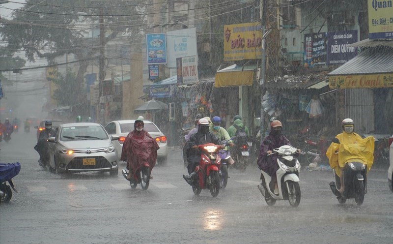
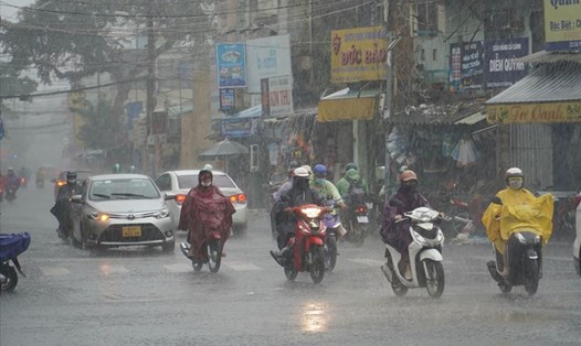
From the night of September 6 to the morning of September 9, the Northern and North Central regions are likely to experience heavy rain, with some areas experiencing very heavy rain and thunderstorms. Heavy rain is likely to cause flooding in low-lying areas; flash floods in small rivers and streams; and landslides on steep slopes.
Due to the influence of the wide storm circulation, it is necessary to be on guard against the risk of thunderstorms, tornadoes and strong gusts of wind both before and during the storm's landfall.