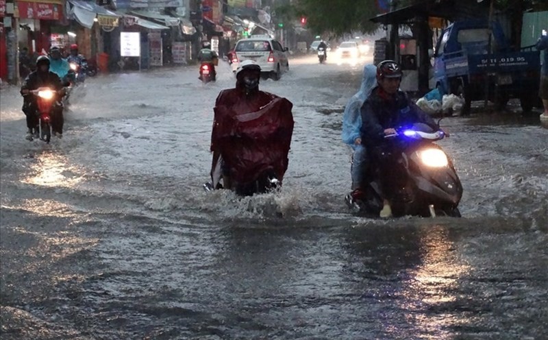
According to the National Center for Hydro-Meteorological Forecasting, in the past 24 hours (from 7:00 a.m. on September 28 to 7:00 a.m. on September 29), the provinces from Thanh Hoa to Da Nang city had moderate rain, heavy rain, and monitoring stations that measured very heavy rain such as: Van Xuan 257.2mm (Thanh Hoa); Yen Thuong 414mm (Nghe An); Huong Quang 328mm (Ha Tinh); Hoa Thanh 215.2mm (Quang Tri); Hong Trung 199mm (Hue city); Suoi Luong 108.2mm (Da Nang city)...
In the past 9 hours (from 10:00 p.m. on September 28 to 7:00 a.m. on September 29), the areas of Lao Cai, Son La and Phu Tho provinces have had moderate rain, with monitoring stations having heavy rain such as: Nhi Lang 111.8mm (Lao Cai); Muong Do 73.4mm (Son La); Lung Van 133.8mm (Phu Tho)...
Soil moisture models show that some areas in the above provinces are nearly saturated (over 85%) or have reached a saturated state.
Warning in the next 3 - 6 hours (from 7:40 on September 29), the above provinces will continue to have rain with common accumulated rainfall as follows: Lao Cai from 20 - 40mm, some places over 60mm; Son La, Phu Tho from 30 - 70mm, some places over 100mm; from Thanh Hoa to Ha Tinh from 90-130mm, some places over 180mm; from Quang Tri to Da Nang city from 10 - 30mm, some places over 50mm.
Warning in the next 6 hours (from 7:40 on September 29), there is a risk of flash floods on small rivers and streams, landslides on steep slopes in many communes/wards.
The meteorological agency warns that the risk of natural disasters due to flash floods, landslides, and land subsidence due to heavy rain or water flow is level 1; in Ha Tinh and Hue city, it is level 2.
The meteorological agency recommends that localities proactively review flow bottlenecks and vulnerable areas to take timely preventive and response measures to the above risks.