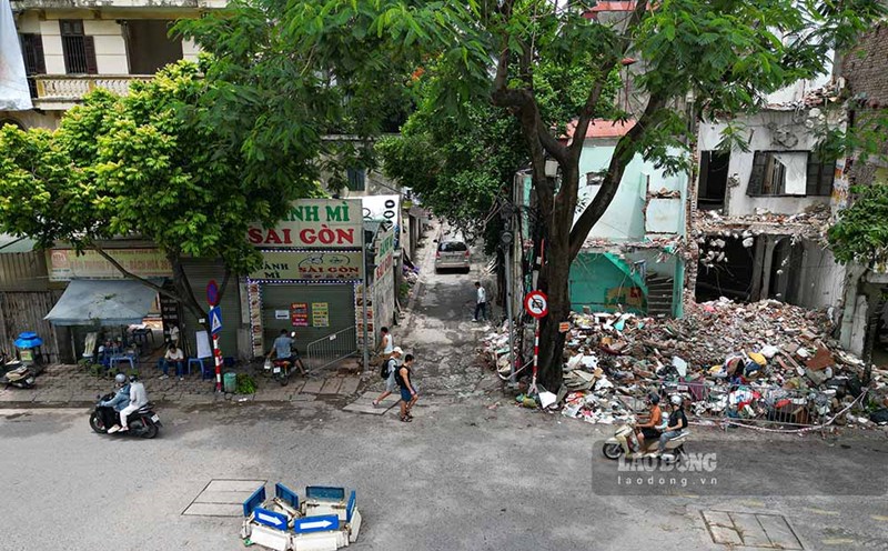
Warning for thunderstorm areas today, with very heavy rain in some places over 100mm

AN AN |

The meteorological agency warns that today, July 6th, the North and North Central regions will have scattered showers and thunderstorms, in which the Northwest region will have heavy to very heavy rain in some places.

According to the National Center for Hydro-Meteorological Forecasting, last night and this morning (July 6), the Northern region, Thanh Hoa and Nghe An had showers and scattered thunderstorms, locally heavy to very heavy rain; especially the Northwest region had moderate rain, heavy rain, and very heavy rain in some places.

Rainfall calculated from 7 pm on July 5 to 8 am on July 6, some places over 100mm such as Hua Bum (Lai Chau) monitoring station 259.4mm, Sin Chai (Dien Bien) 138.8mm,...

On July 6th day and night, it is forecast that the North and North Central regions will have scattered showers and thunderstorms with rainfall of 10 - 30mm, locally heavy rain over 70mm; especially the Northwest region will have rain, moderate rain and scattered thunderstorms with rainfall from 20 - 40mm, locally heavy to very heavy rain over 100mm.

In thunderstorms, there is a possibility of tornadoes, lightning, hail and strong gusts of wind. Thunderstorms accompanied by tornadoes, lightning, hail and strong gusts of wind can affect agricultural production, causing trees to fall, damage to houses, traffic works, and infrastructure.

Localized heavy rain is likely to cause flash floods on small rivers and streams, landslides on slopes and flooding in low-lying areas. Disaster risk level due to tornadoes, lightning, and hail is level 1.

AN AN
RELATED NEWS

Super typhoon Ba Vi may affect the East Sea area, forecast path

|

Super typhoon Ba Vi is moving in a Northwest direction, showing no signs of entering the East Sea but is likely to cause strong winds throughout the East Sea in the coming weekend.

Storm No. 1 gusting at level 10 is moving very slowly, continuing to cause heavy rain

|

Typhoon No. 1 is still maintaining intensity level 8, gusting level 10 in the southern area of Guangxi province (China), 120km north-northeast of Mong Cai (Quang Ninh).

Storm No. 1 enters the coast of Quang Ninh, the heaviest rain from tonight to tomorrow morning

|

This afternoon, July 4th, storm No. 1 has entered the coast of Quang Ninh. Forecast of the strongest wind is from now until 9 pm, heavy rain concentrated from tonight to tomorrow morning.

Site clearance, expanding narrow alleys in Cau Giay

|

Hanoi - Many households have handed over land, creating conditions to expand the narrow alley, gradually removing traffic bottlenecks that have existed for many years in Cau Giay.

Hero Ngo Thi Tuyen - a special witness to the Ham Rong victory has returned to mother earth

|

Thanh Hoa - On July 6, Hero of the People's Armed Forces Ngo Thi Tuyen, a special witness to the Ham Rong victory, returned to her motherland.

Super typhoon Ba Vi may affect the East Sea area, forecast path

AN AN |

Super typhoon Ba Vi is moving in a Northwest direction, showing no signs of entering the East Sea but is likely to cause strong winds throughout the East Sea in the coming weekend.

Storm No. 1 gusting at level 10 is moving very slowly, continuing to cause heavy rain

AN AN |

Typhoon No. 1 is still maintaining intensity level 8, gusting level 10 in the southern area of Guangxi province (China), 120km north-northeast of Mong Cai (Quang Ninh).

Storm No. 1 enters the coast of Quang Ninh, the heaviest rain from tonight to tomorrow morning

AN AN |

This afternoon, July 4th, storm No. 1 has entered the coast of Quang Ninh. Forecast of the strongest wind is from now until 9 pm, heavy rain concentrated from tonight to tomorrow morning.