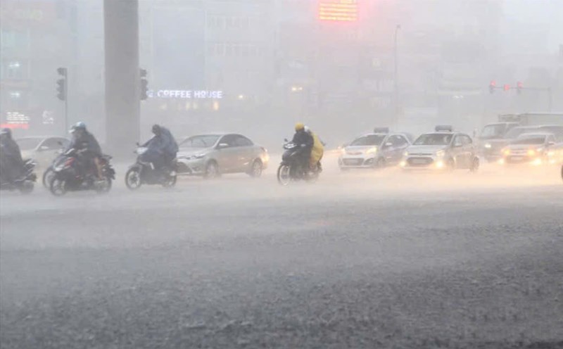
Latest update from the National Center for Hydro-Meteorological Forecasting, in the past 3 hours (from 8:00 to 11:00 on June 27), the Thai Nguyen and Bac Giang provinces have had moderate rain, some places have had heavy rain such as Dong Quang (Thai Nguyen) 53.2mm; Mai Dinh (Bac Giang) 49.8mm...
Soil moisture models show that some areas in the above provinces are nearly saturated (over 85%) or have reached a saturated state.
In the next 3 - 6 hours (from 11:30 on June 27), the above provinces will continue to have rain with common accumulated rainfall from 20 - 40mm, some places over 70mm.
In the next 6 hours (from 11:30 on June 27), there is a risk of flash floods on small rivers and streams, landslides on steep slopes in the above provinces, especially in the areas: Dai Tu, Dong Hy, Phu Binh, Phu Luong, Pho Yen City, Song Cong City, Thai Nguyen City, Vo Nhai (Thai Nguyen); Hiep Hoa, Tan Yen, Yen The (Bac Giang).
Previously, the meteorological agency also warned of the risk of flash floods on small rivers and streams, landslides on steep slopes in Lao Cai, especially in the districts: Bat Xat, Bao Thang, Muong Khuong, Sa Pa, Lao Cai City.
The meteorological agency warns that the risk of natural disasters due to flash floods, landslides, and land subsidence due to heavy rain or water flow is level 1.
Flash floods and landslides can have serious impacts on the environment, threaten people's lives; cause local traffic congestion, affect the movement of vehicles; civil works and economic infrastructure, causing damage to production activities and social life.
The meteorological agency recommends that localities proactively review flow bottlenecks and vulnerable areas to take timely preventive and response measures.
Regarding the hydrological situation, the water level on the main rivers in the Red - Thai Binh river system is changing slowly and is below alert level 1.
From now until June 29, on the Thao, Lo, Cau, Thuong and Luc Nam rivers, small rivers in the Northern region are likely to experience a flood, with a flood amplitude of 2 - 5m on the rivers.
During this flood, flood peaks on small rivers, upstream of Thao River, Lo River, and small rivers are likely to rise to alert level 1- alert level 2, some places above alert level 2, downstream of Thao River to alert level 1, downstream of Lo River is still below alert level 1.
There is a high risk of flooding in low-lying areas along rivers, flash floods and landslides on steep slopes in the mountainous areas of the North. The warning level of natural disaster risk due to floods is level 1.
Floods on rivers and streams can cause flooding in low-lying areas along rivers, affecting activities such as waterway transportation, aquaculture, agricultural production, people's livelihood and socio-economic activities.