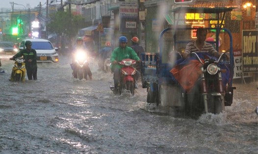
According to data from the National Center for Hydro-Meteorological Forecasting, in the afternoon and evening of yesterday (October 12), the Southern region had scattered showers and thunderstorms, with some places having heavy rain.
Rainfall from 1pm to 7pm on October 12 was over 50mm in some places such as: Bac Dong (Tien Giang) 79.2mm, Tay Ninh City (Tay Ninh) 65.6mm, Phu Thanh (Dong Thap) 61.8mm, Ben Cat (Binh Duong) 57mm,...
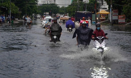
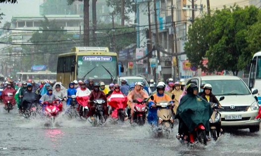
In the Southern region, in the afternoon and evening of October 13, there is forecast to be scattered showers and thunderstorms, locally heavy rain with rainfall from 10 - 30mm, locally over 50mm.
The Meteorological Agency warns that thunderstorms may cause tornadoes, lightning and strong gusts of wind. Localized heavy rains may cause flooding in low-lying areas; flash floods in small rivers and streams; and landslides on steep slopes.
Regarding sea weather, currently, the sea area from Quang Tri to Phu Yen and the Gulf of Thailand has scattered showers and thunderstorms.
Forecast for the day and night of October 13, the North East Sea area (including the Hoang Sa archipelago), the sea area from Thua Thien Hue to Ca Mau, Ca Mau to Kien Giang and the Gulf of Thailand will have showers and thunderstorms. During thunderstorms, there is a possibility of tornadoes and strong gusts of wind of level 7 - 8.
In addition, during the day and night of October 13, the northern sea area of the North East Sea will have strong northeast winds of level 5, sometimes level 6, gusting to level 7-8; rough seas; waves 2-3m high.
All vessels operating in the above areas are at risk of being affected by tornadoes and strong gusts of wind.