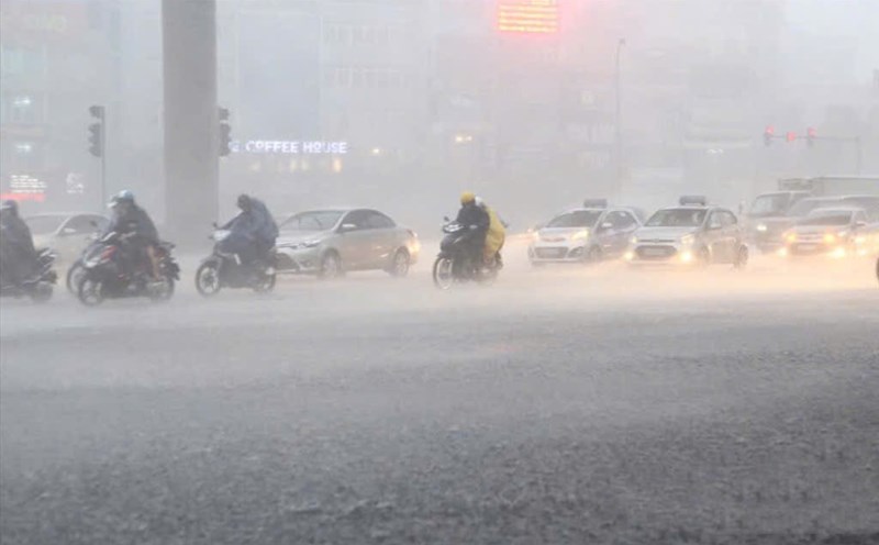
Updated the latest news released at 2:00 p.m. from the National Center for Hydro-Meteorological Forecasting, through monitoring on satellite images, thunderstorm location data and weather radar, convective clouds are being strongly developed in Bac Ninh province and tend to move towards Hanoi city.
In the next 1 - 4 hours, thunderstorms will continue to develop, expand and cause rain in the above areas; then expand to other districts of Hanoi city. During thunderstorms, there is a possibility of tornadoes, lightning and strong gusts of wind. The warning level of natural disaster risk due to tornadoes, lightning, and hail is level 1.
The mountainous and midland areas of the North from now until the night of June 22 are forecast to have moderate rain, heavy rain and thunderstorms, locally very heavy rain with common rainfall from 50 - 100mm, locally over 250mm. Warning of the risk of local heavy rain (rainfall greater than 100mm within 3 hours).
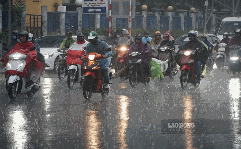
The Northern Delta and Thanh Hoa on the night of June 21 are forecast to have scattered showers and thunderstorms, locally heavy rain with rainfall from 10 - 30mm, locally over 50mm.
In the Southern Central Highlands and the South on the day and night of June 21, it is forecasted to have rain, moderate rain and scattered thunderstorms, locally heavy rain to very heavy rain with rainfall from 20 - 40mm, locally over 80mm.
The Northern Central Highlands region on the day and night of June 21 is forecast to have scattered showers and thunderstorms, locally heavy rain with rainfall from 10 - 30mm, locally over 60mm. Rain will be concentrated in the afternoon and evening.
Heavy rain is also likely to cause flooding in low-lying areas, urban and industrial areas; flash floods on small rivers and streams, landslides on steep slopes.