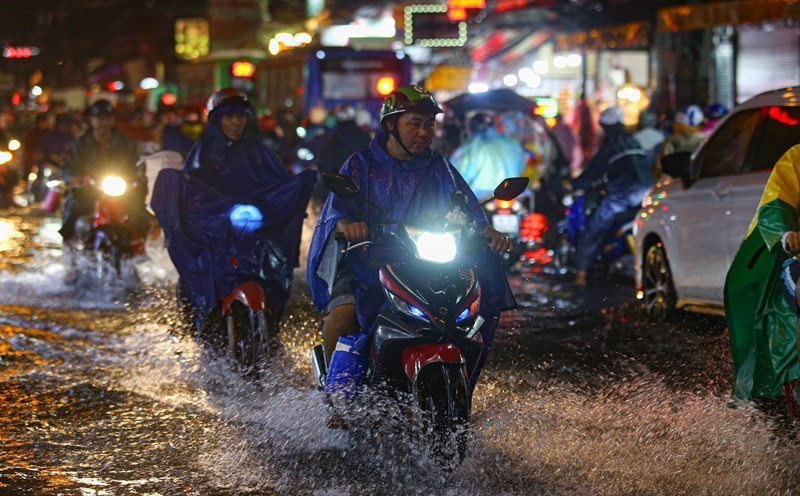
According to the National Center for Hydro-Meteorological Forecasting, at 7:50 a.m. on July 14, on satellite images, lightning positioning data and weather radar images, convective clouds were detected appearing in Tay Ho ward, Ba Dinh ward, with the potential to develop and expand further.
In the next 15 minutes to 1 hour, this cloud area will cause rain in the above areas, then it is likely to spread to other wards/communes in Hanoi's inner city. The forecast of showers and thunderstorms in Hanoi is likely to last for about 30 minutes to 1 hour more.
The meteorological agency warns that thunderstorms may cause tornadoes, lightning and strong gusts of wind.
The National Center for Hydro-Meteorological Forecasting recommends that people limit going out and proactively prevent dangerous weather phenomena, especially in areas with many trees or advertising signs.
Regarding the rainfall trend in the next month, the meteorological agency said that the total rainfall in the Northern regions, Thanh Hoa - Hue is generally higher than the average of many years in the same period of 20 - 40%, some places are higher; the remaining areas are generally approximately the same as the average of many years.
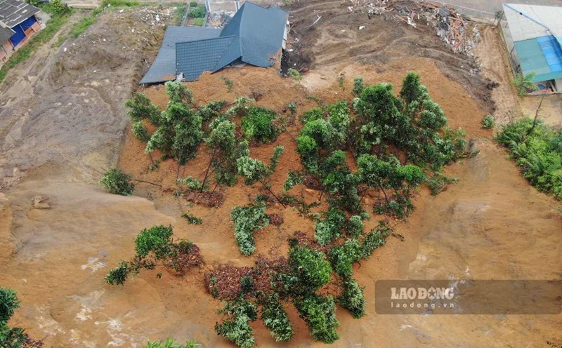
In the next month, the Northern region and the northern provinces from Thanh Hoa to Hue are likely to experience some widespread heavy rains. In the Central and Southern highlands, thunderstorms will continue for many days; some days may have moderate to heavy rain, mainly concentrated in the late afternoon.
On a national scale, there is a continued possibility of dangerous weather phenomena such as thunderstorms, tornadoes, lightning, hail and strong gusts of wind.