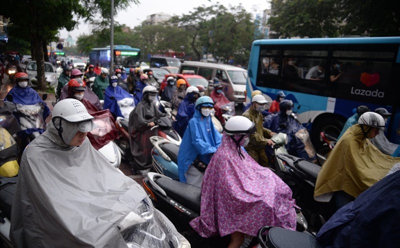
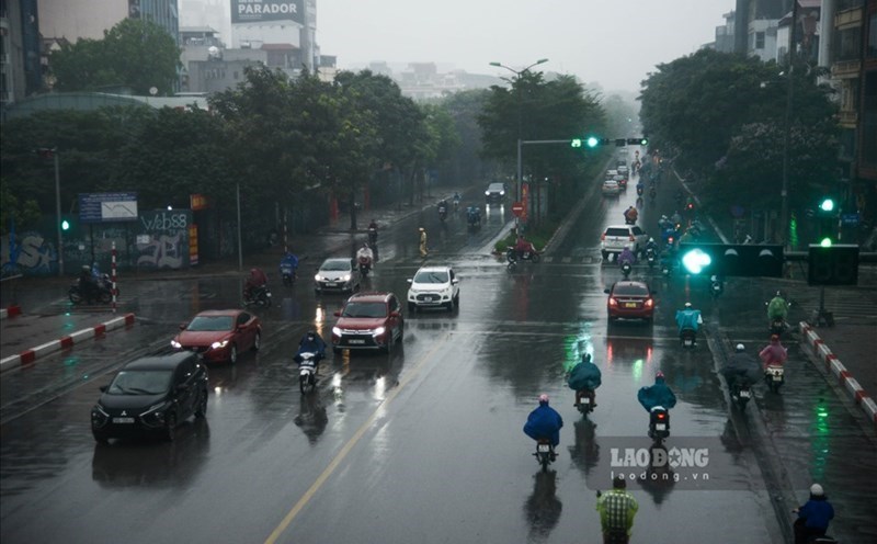
According to the National Center for Hydro-Meteorological Forecasting, last night and this morning (September 30), the Northern region had scattered showers and thunderstorms, with some places having heavy to very heavy rain.
Rainfall from 7pm on June 29 to 8am on June 30 was over 100mm in some places such as: Che La (Tuyen Quang) 116.4mm, Nam Hoa (Thai Nguyen) 240mm, Thanh Ba (Phu Tho) 152.6mm,...
Many areas have showers and thunderstorms today
The Northern region from the morning of June 30 to the morning of July 2 is forecast to have moderate rain, heavy rain and thunderstorms, locally very heavy rain with common rainfall from 70 - 150mm, locally over 300mm. Warning of the risk of local heavy rain with rainfall greater than 100mm within 3 hours.
From noon on July 2 to the morning of July 3, the North is forecast to have moderate rain, heavy rain, locally very heavy rain and thunderstorms with common rainfall of 30 - 60mm, locally over 150mm. From noon on the afternoon of July 3, heavy rain in the North will gradually decrease.
Thanh Hoa and Nghe An on the day and night of June 30 are forecast to have showers and scattered thunderstorms, locally heavy rain with rainfall of 10 - 30mm, locally heavy rain over 50mm. Rain will be concentrated in the late afternoon and night.
In the Central and Southern Plateau areas in the afternoon and evening of June 30, there will be scattered showers and thunderstorms, locally heavy rain with rainfall of 10 - 30mm, some places over 50mm.
During thunderstorms, there is a possibility of tornadoes, lightning, hail and strong gusts of wind. Localized heavy rains are likely to cause flash floods on small rivers and streams, landslides on steep slopes and flooding in low-lying areas. The warning level of natural disaster risk due to tornadoes, lightning, and hail is level 1.
Warning of the risk of flash floods and landslides in the next 3 - 6 hours
Previously, the meteorological agency had specifically warned of dangerous phenomena in some provinces.
From this morning to noon, June 30, Bac Kan province is forecast to continue to have rain with common accumulated rainfall from 20 - 40mm, some places over 70mm. The areas of Lai Chau, Ha Giang, Thai Nguyen provinces will continue to have rain with common accumulated rainfall in Ha Giang and Thai Nguyen from 20 - 50mm, some places over 90mm; in Lai Chau from 10 - 30mm, some places over 70mm.
Risk of flash floods on small rivers and streams, landslides on steep slopes in the above provinces, especially in the districts: Pac Nam, Ba Be, Ngan Son, Na Ri, Bach Thong, Cho Don, Cho Moi, Bac Kan city (Bac Kan); Nam Nhon, Phong Tho, Sin Ho, Tam Duong, Lai Chau city (Lai Chau); Bac Quang, Hoang Su Phi, Quang Binh, Ha Giang city, Vi Xuyen, Xin Man (Ha Giang); Dai Tu, Dong Hy, Phu Binh, Pho Yen city, Song Cong city, Thai Nguyen, Vo Nhai city (Thai Nguyen).
The meteorological agency warns that the risk of natural disasters due to flash floods, landslides, and land subsidence due to heavy rain or water flow is level 1.
Flash floods and landslides can have serious impacts on the environment, threaten people's lives; cause local traffic congestion, affect the movement of vehicles; civil works and economic infrastructure, causing damage to production activities and social life.
The meteorological agency recommends that localities proactively review flow bottlenecks and vulnerable areas to take timely preventive and response measures.