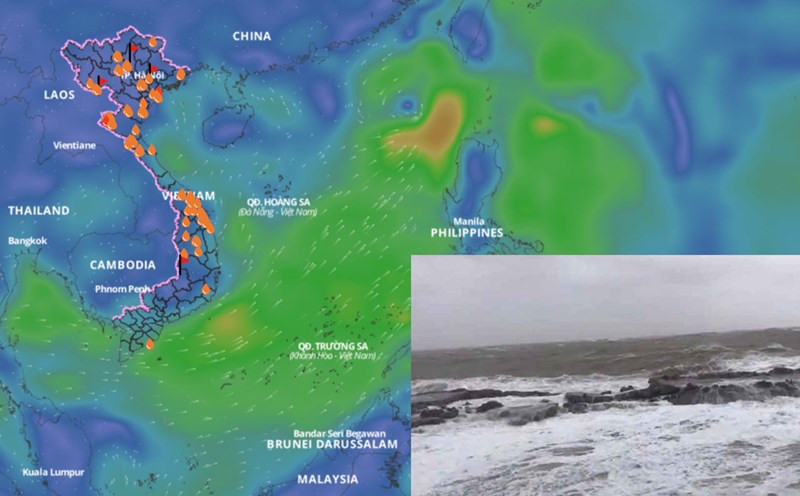
Latest update from the National Center for Hydro-Meteorological Forecasting, at 7:00 a.m. on July 4, the center of the tropical depression was at about 20 degrees north latitude; 119 degrees east longitude. The strongest wind near the center of the tropical depression is level 6 (39 - 49km/h), gusting to level 8; moving west-northwest at a speed of about 10km/h.
It is forecasted that in the next 24 hours, the tropical depression will move west-northwest at a speed of 10 - 15km/h and is likely to strengthen. At 7:00 a.m. on July 5, the center of the tropical depression was at about 21.2 degrees north latitude; 117.1 degrees east longitude, about 780km northeast of Hoang Sa Special Zone.
The strongest wind near the center of the tropical depression is level 6 - 7, gusting to level 8. The area at risk of tropical depression at sea in the next 24 hours will be north of latitude 19 degrees north; from 115.5 to 120 degrees east longitude. The natural disaster risk level is level 3 for the northeastern sea area of the North East Sea.
It is forecasted that in the next 48 hours, the tropical depression will move east-northeast at a speed of 15 - 20km/h and is likely to strengthen. At 7:00 a.m. on July 5, the center was at about 22.5 degrees north latitude; 119.7 degrees east longitude, in the sea southwest of Taiwan (China).
The strongest wind near the center of the tropical depression is level 7, gusting to level 9. The danger zone will expand north of latitude 19.5 degrees north latitude and east of longitude 115.5 degrees east longitude. The natural disaster risk level is level 3, the affected area continues to be the northeastern sea area of the North East Sea.
In the next 48 to 72 hours, the tropical depression will move north-northeast at a speed of 15-20km/h.
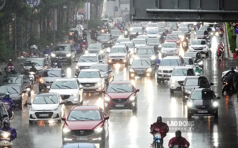
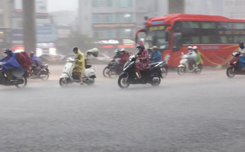
Regarding the impact of the tropical depression, the northeastern sea area of the North East Sea will have thunderstorms and strong winds of level 6, sometimes level 7, gusts of level 9; rough seas, waves 2 - 4m high. Ship operating in the above-mentioned dangerous areas are likely to be affected by thunderstorms, whirlwinds, strong winds, and large waves.