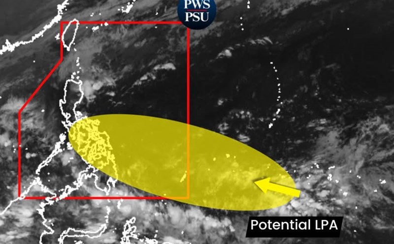
According to the National Center for Hydro-Meteorological Forecasting, last night and this morning (November 22), in the eastern provinces from Gia Lai to Dak Lak and Khanh Hoa, there was rain, showers and thunderstorms, locally heavy rain with rainfall from 7:00 p.m. on November 21 to 7:00 a.m. on November 22, locally over 50mm in some places such as Song Hinh 4 station (Dak Lak) 63mm, Thon 10 station, Ea Mdoal commune (Dak Lak) 52mm,...
Heavy rain gradually decreases from November 24
On the day and night of November 22, southern Da Nang, eastern provinces from Quang Ngai to Dak Lak and northern Khanh Hoa will have moderate rain, heavy rain, locally very heavy rain with common rainfall from 30 - 60mm, locally over 120mm.
On the day and night of November 23, Hue, Da Nang and the eastern provinces of Quang Ngai and Gia Lai will have moderate rain, heavy rain, locally very heavy rain with common rainfall from 40 - 80mm, locally over 180mm. Warning of the risk of heavy rain (with rainfall greater than 80mm within 3 hours).
On November 24, in Hue and the east of provinces and cities from Da Nang to Gia Lai, there will be moderate rain, heavy rain with common rainfall from 20 - 40mm, locally very heavy rain over 70mm.
From the night of November 24, heavy rain in the Central region will gradually decrease.
The warning level of natural disaster risk due to heavy rain, tornadoes, lightning, and hail is level 1. Heavy rain is likely to cause flooding in low-lying areas, urban and industrial areas; flash floods on small rivers and streams; landslides on steep slopes.
Real-time warning information for areas at risk of flash floods and landslides is provided online on the website of the Department of Hydrometeorology at https://luquetsatlo.nchmf.gov.vn and in a separate bulletin warning of flash floods and landslides.
Floods on the Srepok River at Ban Don Station (Dak Lak) continue to increase
Regarding the hydrological situation, floods on the Krong Ana River, Ba River (Dak Lak), Dinh Ninh Hoa River (Khanh Hoa) and Dong Nai River (Dong Nai) are receding; meanwhile, the Kon River (Gia Lai) is rising again.
At 8:00 a.m. on November 22, the water level measured on the Kon River at Thach Hoa station reached 6.1 m, 0.1 m higher than alert level 1. Ba River at Cung Son station was measured at 31.45 m at 7:00, 0.55 m lower than alert level 2; at Phu Lam station, it was measured at 0.96 m at 7:00, 0.74 m lower than alert level 1.
Dinh Ninh Hoa River at Ninh Hoa station is at 5.79m, 0.09m higher than alert level 3. The Krong Ana River at Giang Son station reached 425.87 m, 1.87 m higher than alert level 3. On the Dong Nai River at Ta Lai station, the water level at 7:00 a.m. was 112.71 m, 0.21 m higher than alert level 2.
In the next 12 hours, floods on the Krong Ana River will continue to recede but remain above alert level 3; floods on the Dong Nai River will continue to recede and remain above alert level 2.
In the next 12 - 24 hours, floods on the Krong Ana River will continue to recede and remain above alert level 3; floods on the Dong Nai River will continue to recede slowly and remain at alert level 2.
In the next 24 hours, floods on Dinh Ninh Hoa River will continue to recede and fluctuate around below alert level 2 to alert level 2; floods on Kon River at Thach Hoa Station will fluctuate around alert level 1 to higher than alert level 1. Floods on the Srepok River at Ban Don Station (Dak Lak) continue to increase, then peak and decrease slowly, with the flood peak likely to exceed alert level 3 by about 3.9 - 4.5m.
Flooding continues in provinces and cities from Dak Lak to Khanh Hoa. In addition, the risk of flooding in low-lying areas along the Dong Nai River in Dong Nai province continues to persist. The risk of flash floods on rivers and streams and landslides on steep slopes in the area from Dak Lak to Khanh Hoa and Dong Nai is also high.
The warning level of natural disaster risk in river basins in Dak Lak province is level 3. The river basin in Khanh Hoa and Dong Nai is at level 2.
Floods on rivers and flooding in low-lying areas affect waterway traffic, aquaculture, agricultural production, people's lives and many socio-economic activities. Forecast and warning information is built on the basis of the regulated operation of upstream reservoirs and will be adjusted if the discharge regime changes.