According to the National Center for Hydro-Meteorological Forecasting, the cold air mass is continuing to move eastward to the south.
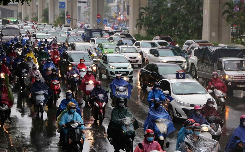
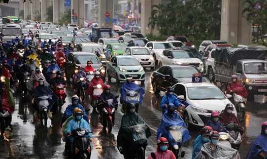
Due to the influence of cold air moving eastward, since last night, October 19, the wind in the North East Sea has gradually become stronger.
Mr. Vu Anh Tuan - Deputy Head of Division Weather Forecast, National Center for Hydro-Meteorological Forecasting said that the nature of this cold air mass is to move eastward, so it does not greatly affect the weather on land but greatly affects the weather at sea.
On October 20, the North East Sea area has strong winds of level 6, especially in the east at times of level 7, gusting to level 8 - 9; rough seas. Waves are 3 - 5m high.

The central East Sea area, the southern East Sea area (including the waters of the Truong Sa archipelago), the waters from Quang Tri to Ca Mau, Ca Mau to Kien Giang and the Gulf of Thailand will have scattered showers and thunderstorms. During thunderstorms, there is a possibility of tornadoes and strong gusts of wind of level 7 - 8.
On the night of October 20 and October 21, the North East Sea area (including the waters of Hoang Sa archipelago) will have strong winds of level 6, sometimes level 7, gusting to level 8 - 9, rough seas; waves from 3 - 5m high.
The meteorological agency warned that the risk of natural disasters due to strong winds at sea is level 2.
All vessels operating in the above areas are at high risk of being affected by cyclones, strong winds and large waves.
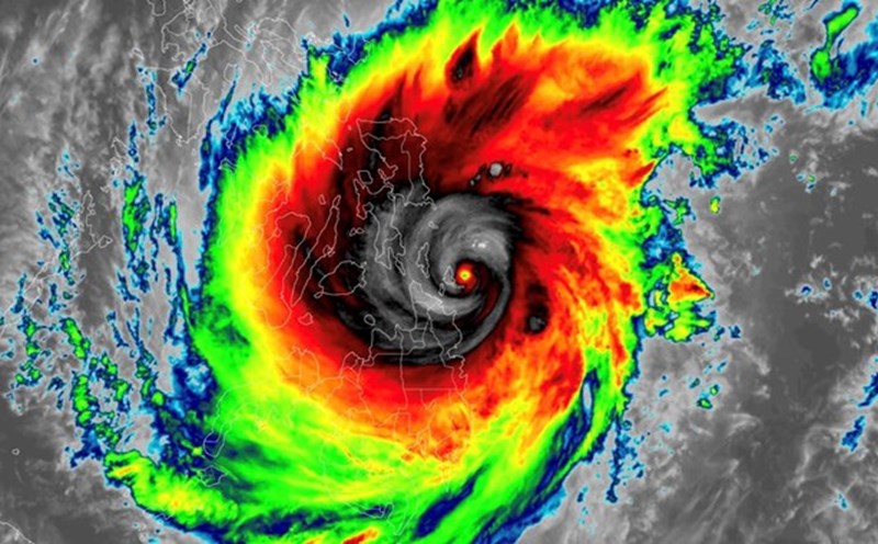
Forecasting the marine weather trend next week, according to Mr. Vu Anh Tuan, it is predicted that around October 21-22, a tropical convergence zone will form in the central area of the East Sea.
"On this tropical convergence zone, tropical cyclones can form. From October 23 to 25, there is a possibility of tropical depression or storm activity in the East Sea," said Mr. Tuan.
The National Center for Hydro-Meteorological Forecasting predicts that from November 2024 to January 2025, storm/tropical depression activity in the East Sea and its impact on Vietnam's mainland is likely to be at a level approximately equal to or higher than the average of many years.
According to the average data of many years during the forecast period, there are 2.8 storms/tropical depressions in the East Sea, about 1.1 storms make landfall.