The Institute of Meteorology, Hydrology and Climate Change has issued a climate forecast for the 3-month period (from August to October 2025) based on climate change analysis, the Institute's statistical model, and forecast bulletins from major climate centers around the world.
The reporter had an interview with Dr. Truong Ba Kien, Deputy Director of the Center for Meteorological and Climate Research - Institute of Meteorology, Hydrology and Climate Change - about the most notable weather features in the above period.

Dr. Truong Ba Kien, can you tell us about the activities of ENSO and the summer monsoon in the coming time?
- Currently, atmospheric and ocean conditions reflect ENSO being in a neutral state. ENSO is forecast to maintain a neutral state for 3 months from August to October 2025, with a probability of about 55 - 60%.
The intensity of the summer monsoon is approximately the average of many years in the late season. The end of the summer monsoon is likely to be close to the average of many years (ie in late September or early October).
The Lunar Autumn Festival has now passed, so is there a forecast of hot weather and when will the first cold front start to arrive, sir?
- With the temperature background, in the 3 months from August to October, the temperature is likely to be approximately equal to or higher than the average of many years nationwide.
Hot weather is likely to occur widely in the Northeast and Central regions until the end of August, then gradually decrease in September 2025. The intensity of hot weather is less severe than in 2024.
The winter monsoon is likely to start at approximately the average of many years. This year ENSO is neutral and is usually neutral in years, the first cold air waves appear around September.
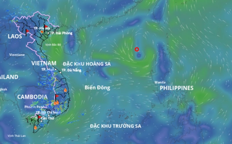
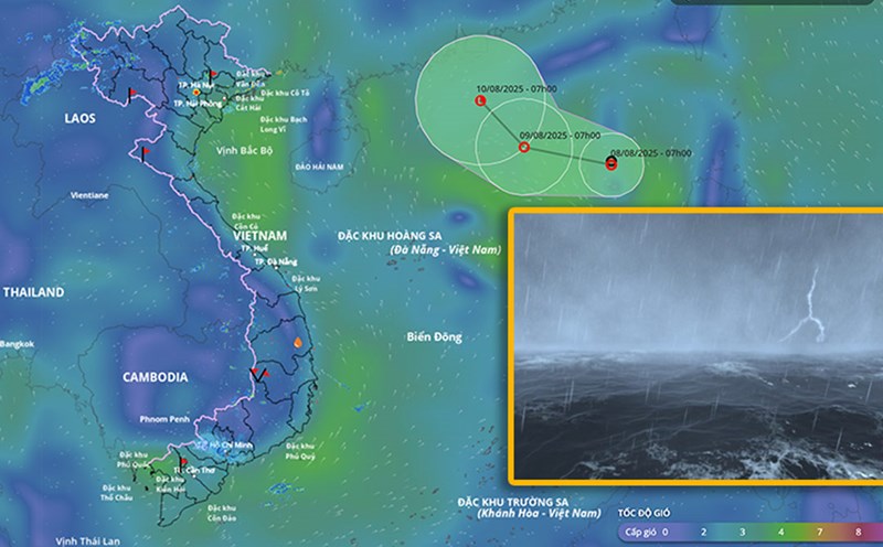
The peak of the typical rainy and stormy season is also concentrated in the August to October period. What do you have to note about the storm trend in the next 3 months?
- Regarding rainfall, in the next 3 months, total rainfall is likely to be approximately the average of many years in the Central Highlands, South Central, and South; approximately equal to or higher than the average of many years in the Central region. Beware of the possibility of extreme rainfall, the risk of thunderstorms, lightning, and hail in the Northern and Central regions.
Regarding storm trends, in the 3 months from August to October, the number of tropical cyclones active in the East Sea and affecting Vietnam will be approximately equal to or higher than the average of many years.
Accordingly, there will be an average of 6 activities in the East Sea over the years and 3-4 cases of direct impact on the mainland of Vietnam.
In terms of the entire storm season, the forecast for the number of storms and tropical depressions active in the East Sea and affecting Vietnam in 2025 is likely to be approximately equal to or lower than the average of many years.
According to the average data of many years, there are about 12 - 13 tropical cyclones active in the East Sea and 6 - 7 storms affecting Vietnam.
However, it is worth noting that the number of strong storms (from level 12 and above) active in the East Sea in 2025 is likely to be approximately equal to or higher than the average of many years.
Sincerely thank you!