According to the National Center for Hydro-Meteorological Forecasting, currently (May 11), cold air has affected the Northern region, most of the North Central region. The Gulf of Tonkin has northeast winds of level 7, gusting to level 8.
In the afternoon and night of May 11, cold air continues to affect other places in the North Central region and some places in the Central Central region. On land, there are northeast winds of level 2 - 3; coastal areas of level 3 - 4, gusting to level 6.
The Northern and North Central region is cool, the Northern mountains have a cold place. The lowest temperature in this cold air in the North and North Central Coast is popular from 20 - 23 degrees Celsius, the Northern high mountains have places below 19 degrees C. The average temperature is about 23-25 degrees C.
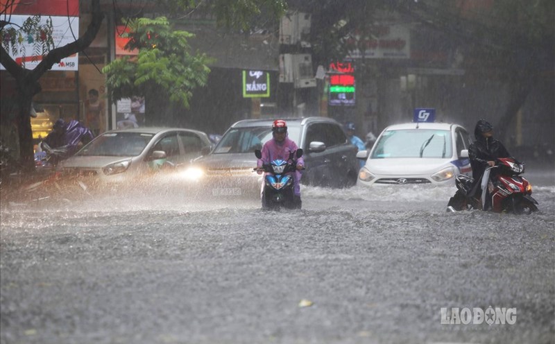
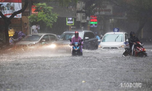
There are occasional showers and cool weather in the Hanoi area. The lowest temperature in this cold air mass is generally 21 - 23 degrees Celsius.
Regarding another notable situation, on May 11, the area from Ha Tinh to Quang Nam will have moderate rain, heavy rain and thunderstorms, locally very heavy rain. On the night of May 11, the rain gradually decreased.
Thunderstorms accompanied by tornadoes, lightning, hail and strong gusts of wind can affect agricultural production, break trees, damage houses, traffic works and infrastructure. Heavy rain is likely to cause flooding in low-lying areas; flash floods on small rivers and streams and landslides on steep slopes.
Heavy rain in a short period of time caused flooding in urban areas and industrial parks.
At sea, on May 11, the Gulf of Tonkin will have northeast winds of level 5, sometimes level 6, gusting to level 7; rough seas, waves 1.5 - 2.5m high. From night the wind gradually decreases.
The northern sea area of the North East Sea will have strong northeast winds of level 6, gusting to level 7 - 8; rough seas; waves 2 - 3m high. At night the wind gradually decreases.