According to the bulletin issued at 8:00 a.m. on October 14 from the National Center for Hydro-Meteorological Forecasting, through monitoring on satellite images, thunderstorm location data and weather radar, it was discovered that convective clouds continued to develop and caused rain in most of Hanoi city. Some locations with a high response rate of 35-50dBz such as Doai Phuong commune, Phuc Tho commune, O Dien commune, Me Linh commune, Thien Loc commune, Hoa Lac commune, Son Tay ward, ...
In the next 3 hours, this cloud area will continue to cause rain in the above areas, then spread to other wards/communes of Hanoi city. During thunderstorms, there is a possibility of tornadoes, lightning and strong gusts of wind. The warning level of natural disaster risk due to tornadoes, lightning, and hail is level 1.
The meteorological agency also said that Hanoi is located in an area affected by a weak cold air mass combined with easterly winds from the subtropical high pressure circulation encroaching on the west.
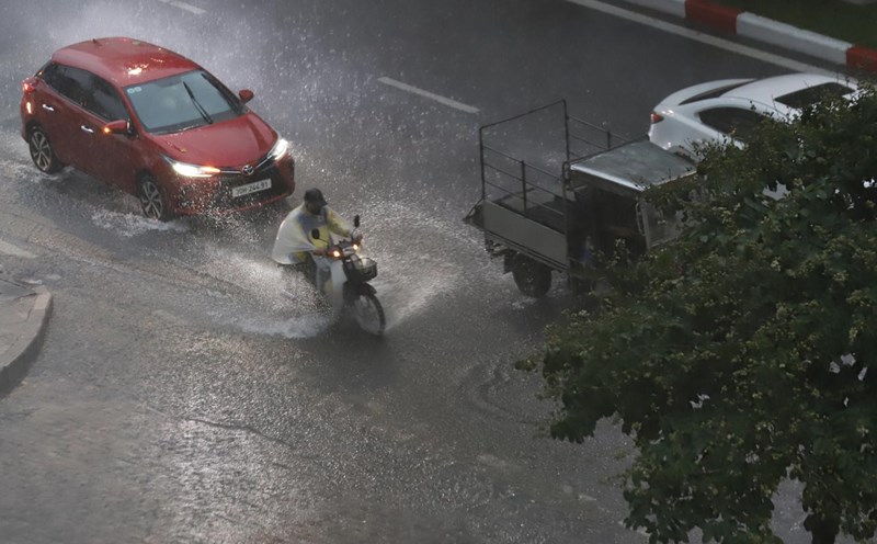
From early morning of October 14 to the end of October 15, Hanoi is forecast to have rain, moderate rain and thunderstorms with rainfall of 30 - 60mm, locally heavy rain over 90mm.
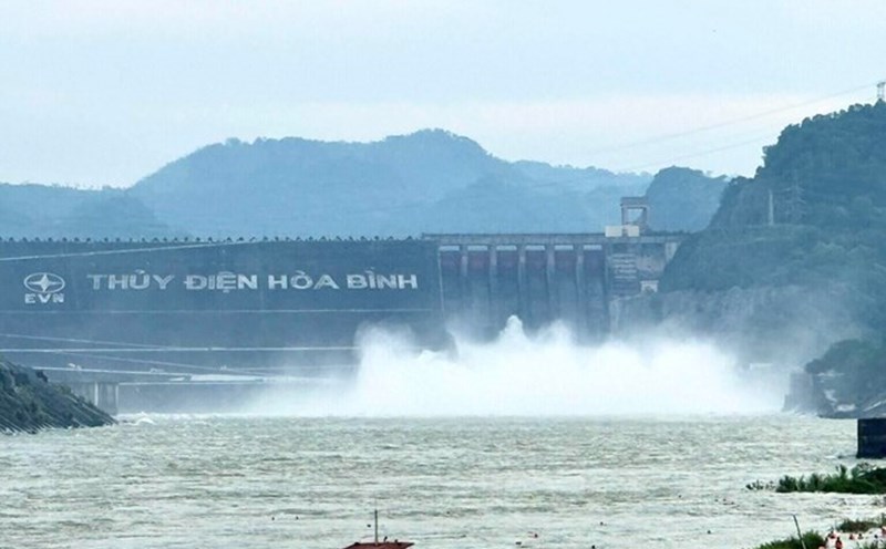
According to the representative of the meteorological agency, the forecast of accumulated rainfall in 24 hours is generally below 50mm, so the risk of flooding on river systems in the North is very low; there is little chance of widespread flooding.
However, warnings are that there may still be local showers and thunderstorms during this time, with a high intensity of rain of 30 - 50mm/hour, which can cause flooding, flash floods and landslides locally.