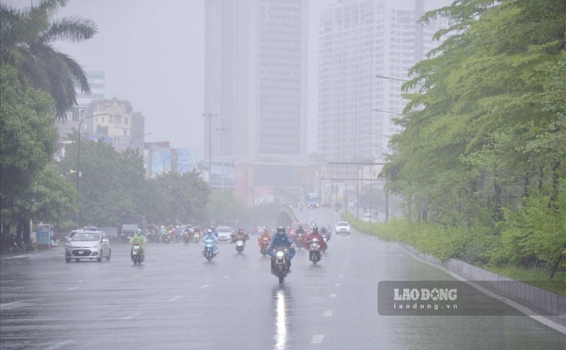
In the latest news released at 10:10 on October 13 from the National Center for Hydro-Meteorological Forecasting, through monitoring on satellite images, lightning positioning data and weather radar images, convective clouds are forming and developing in Bat Trang commune, Linh Nam ward. This convective cloud area tends to move and expand towards the inner city of Hanoi.
From now until the next 4 hours, Long Bien, Vinh Hung, Hoang Mai, Yen So, Vinh Tuy, Tuong Mai, Hoang Mai, Bach Mai, Hong Ha wards... will have showers and thunderstorms, then spread to other areas in Hanoi's inner city. During thunderstorms, there is a possibility of tornadoes, lightning and strong gusts of wind.
Hanoi is also in an area that is about to be affected by a weak cold air mass combined with easterly winds from the subtropical high pressure circulation encroaching on the west.
From October 13 to 15, the Northern region, especially the Northeast, is likely to experience rain, moderate rain, and cloudy skies. The forecast for accumulated rainfall in 24 hours is generally below 50mm, so the possibility of flooding on river systems is very low.
However, during this time, there may still be local showers and thunderstorms, with a high intensity of rain of 30 - 50mm/hour, which can cause flooding, flash floods and landslides in some mountainous areas.
In the afternoon and night of October 13, the Northeast region and from Thanh Hoa to Ha Tinh will have rain, moderate rain and scattered thunderstorms. Rainfall in the Northeast region is generally 15 - 30mm, locally over 70mm; the area from Thanh Hoa to Ha Tinh 20 - 40mm, locally over 80mm.
Warning of the risk of heavy rain over 70mm in 3 hours.
The meteorological agency warns that thunderstorms may cause tornadoes, lightning, hail and strong gusts of wind. Localized heavy rains can cause flash floods on small rivers and streams, landslides on steep slopes and flooding in low-lying areas.


