According to the National Center for Hydro-Meteorological Forecasting, Hanoi is located in an area affected by a weak cold air mass combined with easterly winds from the subtropical high pressure circulation encroaching on the west.
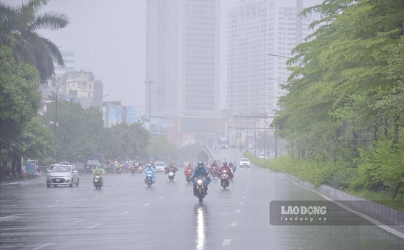
In Hanoi, from the afternoon of October 13 to the end of October 15, there is a forecast of rain, moderate rain and thunderstorms with rainfall of 40 - 80mm, locally heavy rain over 100mm.
According to the representative of the meteorological agency, the forecast of accumulated rainfall in 24 hours is generally below 50mm, so the risk of flooding on river systems in the North is very low; there is little chance of widespread flooding.
However, warnings are that there may still be local showers and thunderstorms during this time, with a high intensity of rain of 30 - 50mm/hour, which can cause flooding, flash floods and landslides locally.
The Northern Delta and Thanh Hoa - Ha Tinh provinces from the afternoon of October 13 to October 15 are forecast to have moderate rain, with common rainfall of 40 - 100mm, locally heavy to very heavy rain over 150mm.
The midland and mountainous areas of the Northeast will have showers and thunderstorms, with common rainfall of 30 - 60mm, locally heavy rain over 100mm.
The area from Quang Tri to Lam Dong and the South will continue to have scattered showers and thunderstorms on the afternoon and night of October 13, with rainfall of 10 - 30mm, locally heavy rain over 80mm. Thunderstorms will be concentrated in the afternoon and evening. Thunderstorms in these areas will continue for many days to come.
The meteorological agency warns that thunderstorms may cause tornadoes, lightning, hail and strong gusts of wind. Localized heavy rains are likely to cause flash floods on small rivers and streams, landslides on steep slopes and flooding in low-lying areas.