In the latest bulletin issued at 2:15 p.m. on September 26 from the National Center for Hydro-Meteorological Forecasting, through monitoring on satellite images and weather radar images, it shows that the convective cloud area causing rain is developing in Gia Lam district (Hanoi) and tends to move to the west.
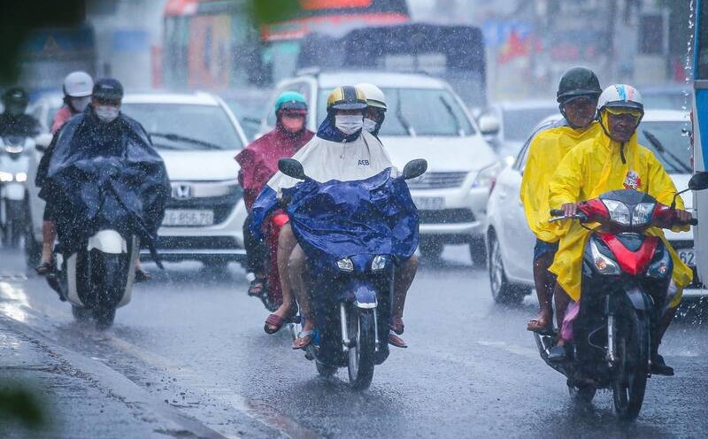
In Hanoi area, currently, this cloud area is causing showers and possible thunderstorms in Long Bien, Hoang Mai, Hai Ba Trung, Hoan Kiem districts... then it is likely to spread to other districts such as Ba Dinh, Dong Da, Thanh Xuan...
The Meteorological Agency warns that thunderstorms may cause tornadoes, lightning, and strong gusts of wind. The risk level for natural disasters caused by tornadoes, lightning, and hail is level 1.
In addition, convective clouds in the east are tending to move towards the southern provinces.
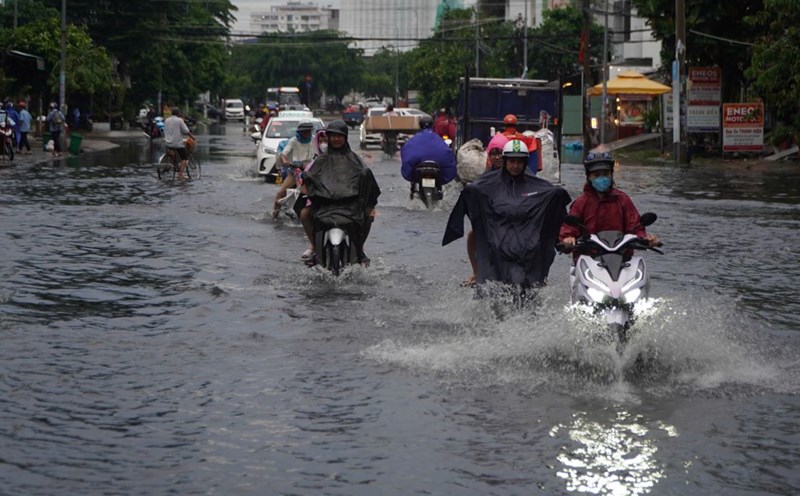
From Khanh Hoa to Binh Thuan, the Southern Central Highlands and the South on the day and night of September 26, there is forecast to be scattered showers and thunderstorms, locally heavy rain with rainfall from 10 - 30mm, locally over 50mm. Rain will be concentrated in the afternoon and evening.
The Meteorological Agency warns that thunderstorms may cause tornadoes, lightning, hail and strong gusts of wind. Localized heavy rains may cause flooding in low-lying areas; flash floods in small rivers and streams; and landslides on steep slopes.