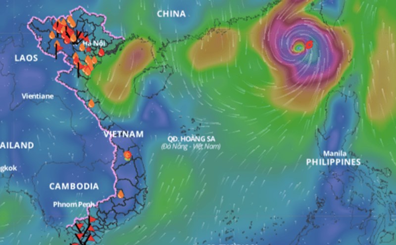
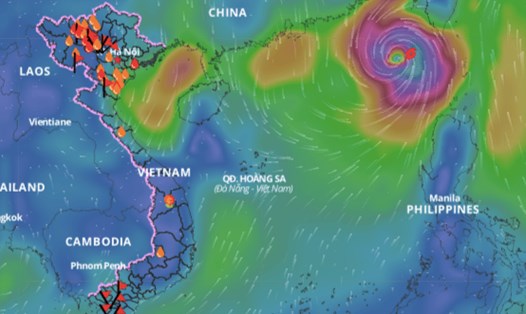
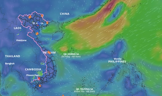
According to the National Center for Hydro-Meteorological Forecasting, currently, the northeastern sea area of the North East Sea has strong northeast winds of level 6, sometimes level 7.
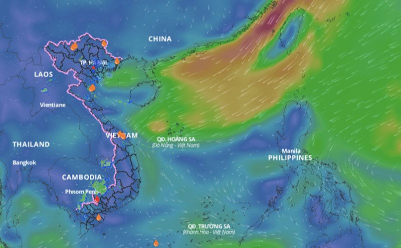
The western sea area of the North East Sea (including the Hoang Sa archipelago), the central and southern East Sea area (including the Truong Sa archipelago), the sea area from Quang Tri to Quang Ngai, Binh Thuan to Ca Mau, Ca Mau to Kien Giang and the Gulf of Thailand have scattered showers and thunderstorms.
On the night of October 20 and October 21, the North East Sea (including the waters of the Hoang Sa archipelago) had strong winds of level 6, sometimes level 7 in the east, gusting to level 8 - 9. The sea was rough, with waves 3 - 5m high.
The western sea area of the North East Sea (including the Hoang Sa archipelago), the central and southern East Sea area (including the Truong Sa archipelago), the southern area of the Gulf of Tonkin, the sea area from Quang Tri to Quang Ngai, Binh Thuan to Ca Mau, Ca Mau to Kien Giang and the Gulf of Thailand will have scattered showers and thunderstorms. During thunderstorms, there is a possibility of tornadoes and strong gusts of wind of level 7 - 8.
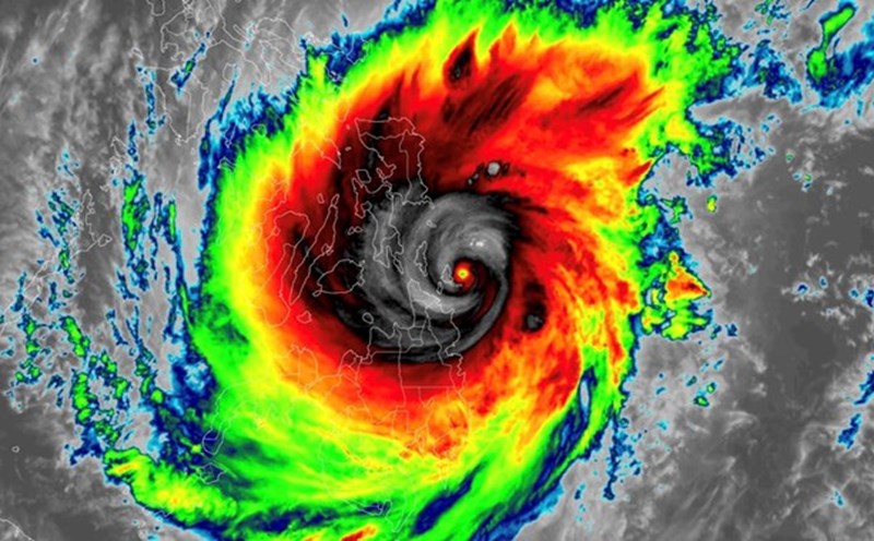
Around October 21-22, a tropical convergence zone will form in the central part of the East Sea. Tropical cyclones may form in this tropical convergence zone. From October 23-25, there is a possibility of tropical depression or storm activity in the East Sea.
On the night of October 21 and October 22, the North East Sea area (including the waters of Hoang Sa archipelago) will have strong northeast winds of level 6, gusting to level 7-8, rough seas; waves 2-4m high.
The risk level for natural disasters due to strong winds at sea is level 2. All vessels operating in the above areas are at high risk of being affected by tornadoes, strong winds and large waves.