The latest storm and low pressure information from the Philippine Atmospheric, Geophysical and Astronomical Services Administration (PAGASA) on the morning of October 27 said that the low pressure near Zamboanga, Philippines is currently 260km northwest of Zamboanga city or 260km east southeast of Puerto Princesa city, Palawan.
"As of 8:00 a.m. on October 27, the low pressure is being monitored within the Philippine Forecast Area (PAR) and is unlikely to develop into a tropical depression within the next 24 hours," PAGASA's bulletin stated.
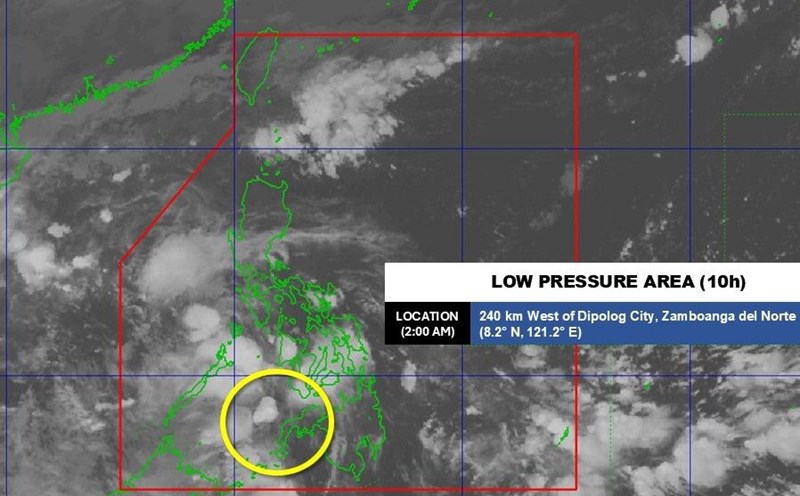
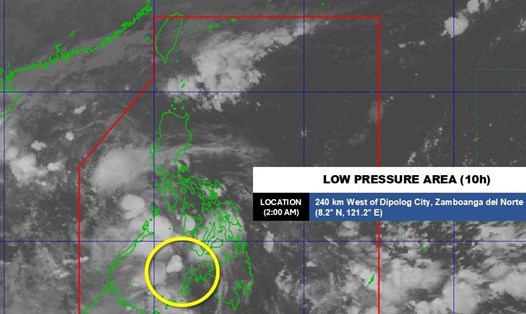
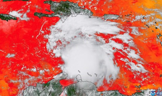
Satellite images show that the low pressure system named by PAGASA is active over the 10 hours of the Sulu Sea, a large sea in the southwest of the Philippines, separated from the Northwest by Palawan Island and neighboring small islands.
The 10am low pressure was detected by PAGASA at 2:00 a.m. on October 26 east of the Philippines, about 220km east of General Santos City. During its existence, this depression has gradually moved westward and reached the Sulu Sea.
According to PAGASA's October 24 forecast, a low pressure is likely to operate in the Sulu Sea during the week of October 24 to October 30.
Forecast models at that time showed that the depression was likely to leave the Philippine forecast area and enter the South China Sea during the week of October 31 to November 6.
According to the forecast image, this low pressure is unlikely to strengthen into a storm but will affect a large area in the East Sea, with the possibility of affecting the weather in Vietnam.