On October 3, Deputy Prime Minister Tran Hong Ha chaired a meeting on responding to storm No. 11 (storm Matmo).
According to Mr. Mai Van Khiem - Director of the National Center for Hydro-Meteorological Forecasting, it is forecasted that on the evening of October 3, the storm will enter the eastern sea area of the central East Sea, becoming storm No. 11.
The storm moved quickly, continuing to strengthen and reaching its strongest intensity of level 12, gusting to level 14-15 in the area east of the Lusian Peninsula (China).
Mr. Khiem raised 2 scenarios for the landfall of storm No. 11. First (probability of about 70-75%), the storm will move more northward, moving more inland in China (similar to the path of storm No. 9).
Therefore, when reaching the northern area of Quang Ninh province, it will weaken by 2-4 degrees compared to the time of the strongest storm; the Gulf of Tonkin will have strong winds of level 9-10, the mainland of Quang Ninh - Hai Phong will have strong winds of level 8-9 and will cause heavy rain in the North (focusing on the midland and mountainous areas).
The second scenario is more extreme (with a probability of about 25-30%). The storm is moving south mainly at sea, so it will weaken less than scenario 1. Therefore, the storm intensity when entering the Quang Ninh area will be stronger than scenario 1, possibly causing strong winds of level 9-10 (level 12-14), the influence will expand to the south (Quang Ninh - Ninh Binh); the rain will also be heavier, the strong wind will also be deeper in the mainland.
It is expected that around the evening of October 5, the storm will enter the Gulf of Tonkin. By dawn on October 6, the storm made landfall in Quang Ninh province.
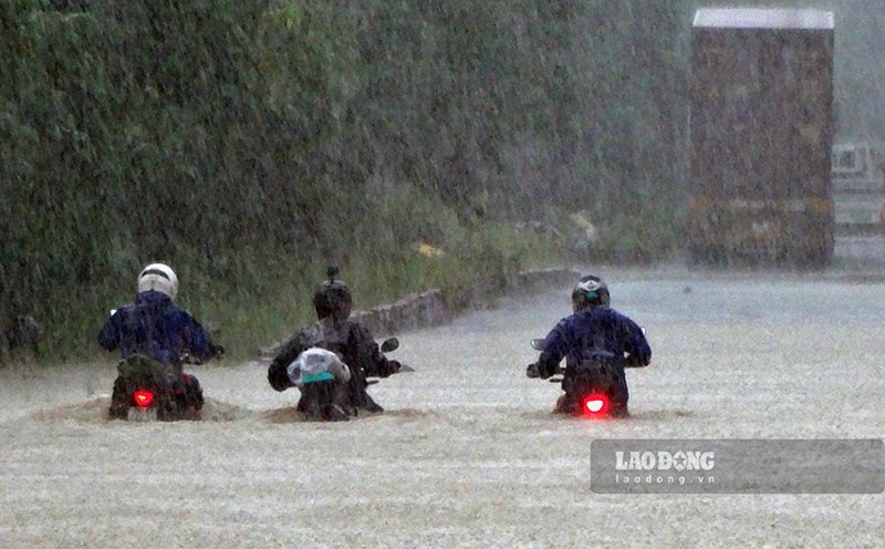
From the night of October 5 to the end of the night of October 7, in the Northern region, Thanh Hoa and Nghe An, there will be heavy to very heavy rain with common rainfall of 100-200 mm, locally over 300 mm; in the mountainous and midland areas of the North, the common rainfall is from 150-250 mm, locally over 400 mm. Warning of the risk of heavy rain (over 200 mm in 3 hours).

Deputy Minister of Agriculture and Environment Nguyen Hoang Hiep said that heavy rain is forecast to start from the evening of October 6, strongest at night and early morning of October 7. The focus of rain is the provinces: Quang Ninh, Lang Son, Cao Bang, Thai Nguyen, Ha Giang. Bac Ninh and Hanoi will also be in heavy rain. By October 7, the rain will spread to Northern Thanh Hoa and Northern Nghe An.
Storm No. 11 is also likely to cause a new flood, from October 6.9.10, with flood peaks ranging from alert level 2 to alert level 3, especially dangerous in the Northeast region: Quang Ninh, Lang Son, Cao Bang, Ha Giang, Thai Nguyen, Bac Kan.
Speaking at the meeting, Deputy Prime Minister Tran Hong Ha emphasized: Storm No. 11 is extremely dangerous, a "disaster overlapping with natural disasters". Localities need to clearly recognize the particularly complex nature of the situation to take timely measures, not be subjective.
The Deputy Prime Minister said that it is necessary to issue standard processes and regulations to respond to and change operating methods "it is impossible to hold a general meeting when the storm has arrived".
"Each locality and each sector must have a specific plan; each locality must have a person with full authority to direct. It is necessary to assign and assign tasks clearly. Who participated, where to play, how to play must be determined from the beginning," said the Deputy Prime Minister.
The Deputy Prime Minister stated that we must take the worst case scenario for forecasting. The higher the forecast, the higher the vigilance, the more comprehensive and synchronous the preparation, the less damage.