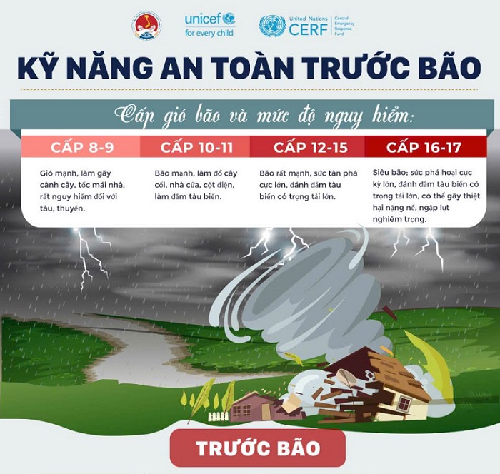
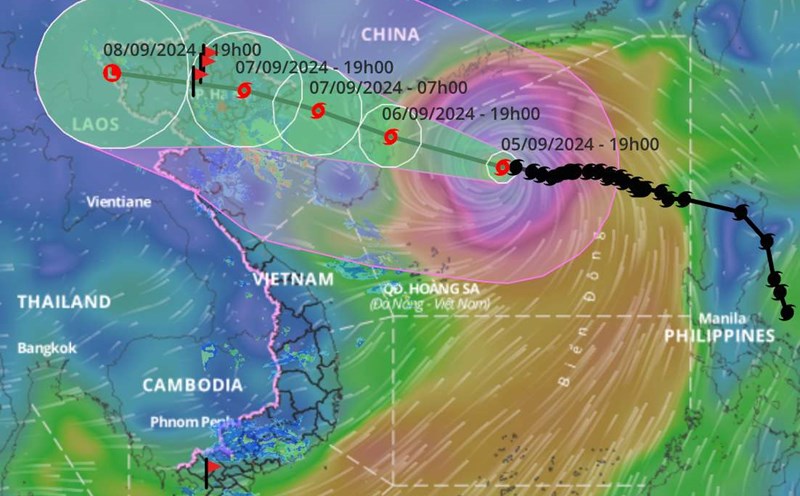
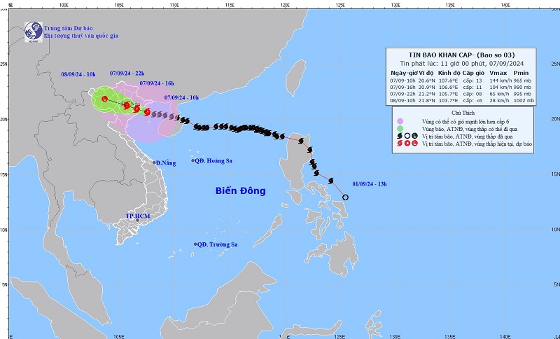
At noon on September 7, 2024, storm No. 3 was in the Quang Ninh-Thai Binh sea area, the strongest wind near the storm center was level 13, gusting to level 16, moving in the West Northwest direction, speed 15-20km/h.
It is forecasted that by 10 p.m. on September 7, the storm will move in a West-Northwest direction at a speed of 15-20 km/h, entering the mainland of the Northeast; strong winds of level 8, gusts of level 10. The northern area of the Gulf of Tonkin, coastal waters and mainland of Quang Ninh, Hai Phong, and Thai Binh will have a level 4 disaster risk; the southern area of the Gulf of Tonkin, coastal waters and mainland of Nam Dinh, Ninh Binh, and Thanh Hoa will have a level 3 risk.
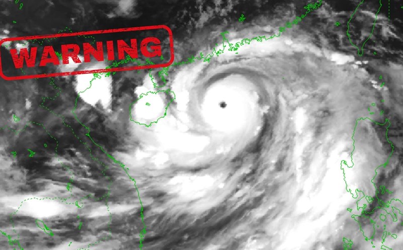
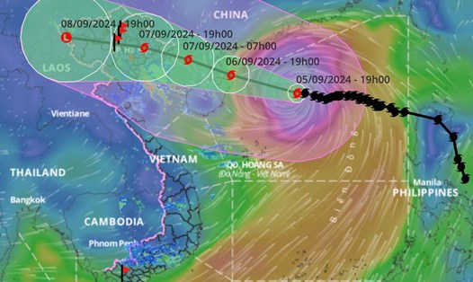
According to forecasts from international meteorological agencies, the center of storm No. 3 (Yagi) is showing signs of shifting south, possibly passing through Cat Ba island into Hai Phong and affecting Hanoi.
Storm No. 3 will cause very heavy rain in the Northern region. The heavy rain in the Northeast region will be concentrated today and tonight (September 7). This afternoon and tonight, heavy rain will spread to the Northwest region.
This rain will last until around September 9. The total rainfall is forecast to be around 150-350mm, with some places over 500mm. There is a possibility of flooding in the Northern region. In addition, the mountainous provinces of the Northern Midlands and Thanh Hoa and Nghe An are likely to experience widespread flash floods.
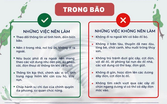
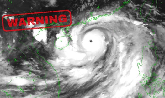
Authorities warn that storm No. 3 is a very strong storm with a wide circulation. Although Hanoi is not directly affected by storm No. 3, due to the impact of storm No. 3, from this afternoon and evening, Hanoi is likely to have strong winds of level 6-7, gusting to level 9-10. Therefore, people should be careful to limit going out this afternoon and evening and it is best not to leave the house.
To ensure safety, the National Steering Committee for Natural Disaster Prevention and Control recommends that people take the following measures: