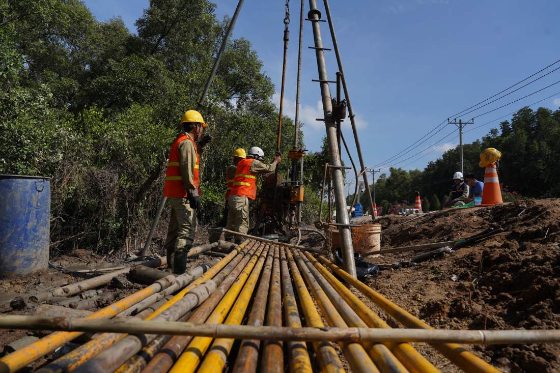
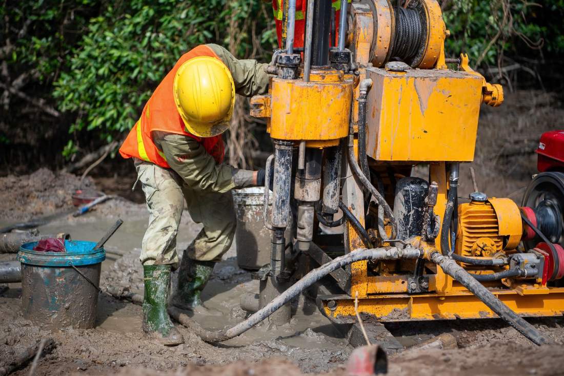
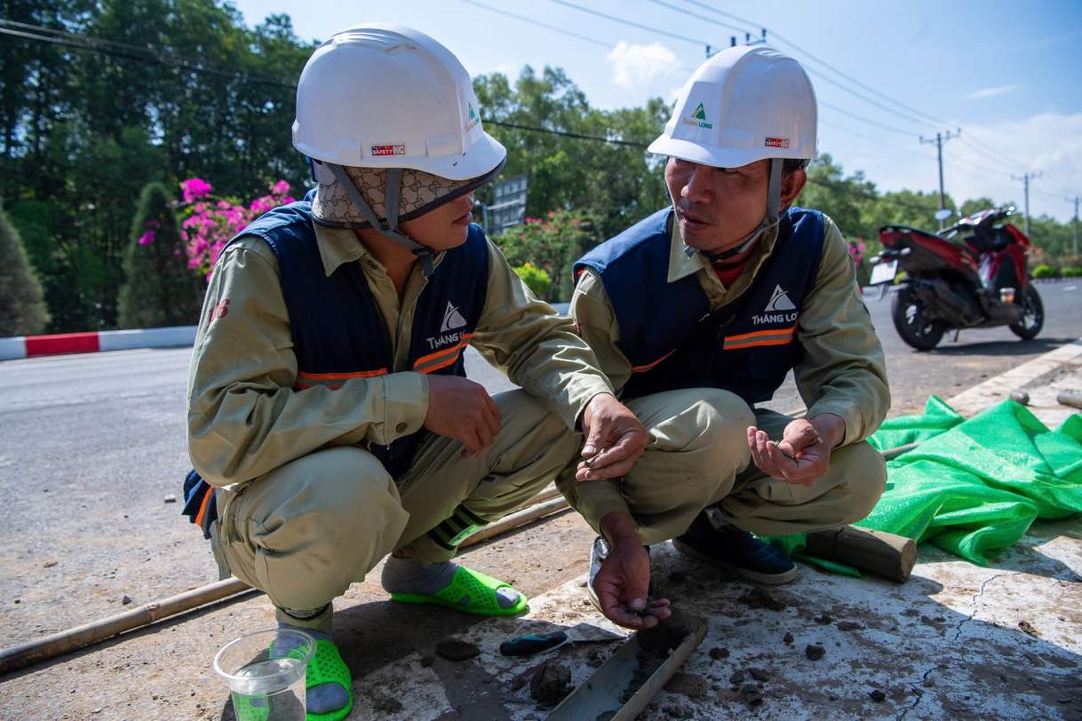
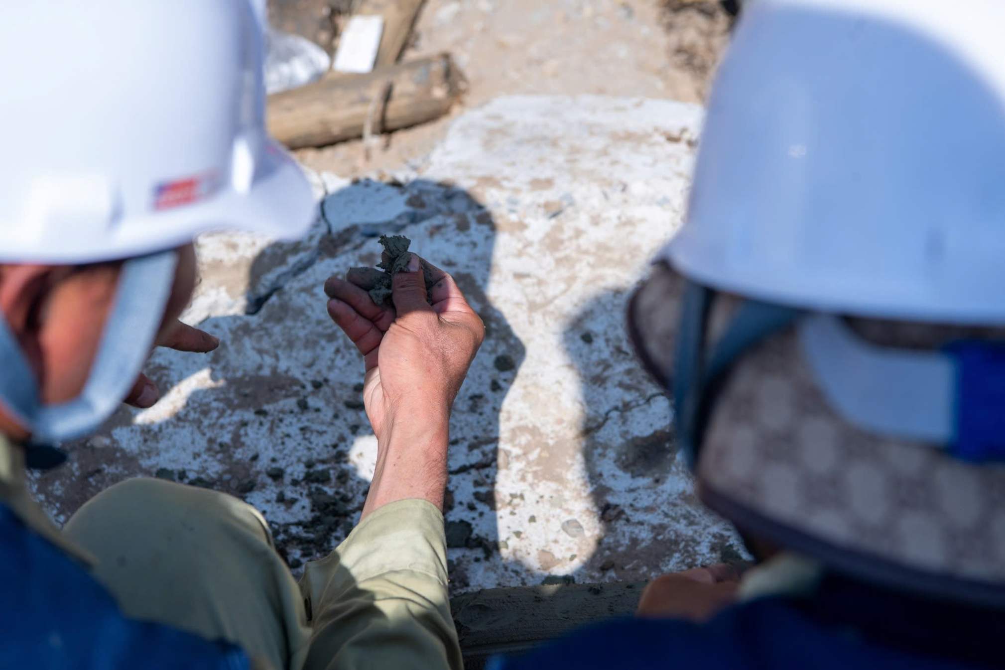
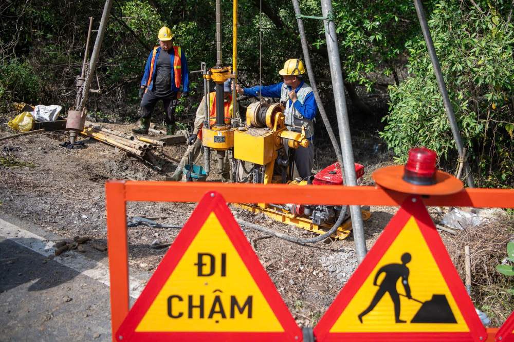
Geological survey drilling work with drill bits up to 80m deep along the Rung Sac road (Can Gio) is being urgently carried out, serving the design and construction of the Ben Thanh - Can Gio Metro line.
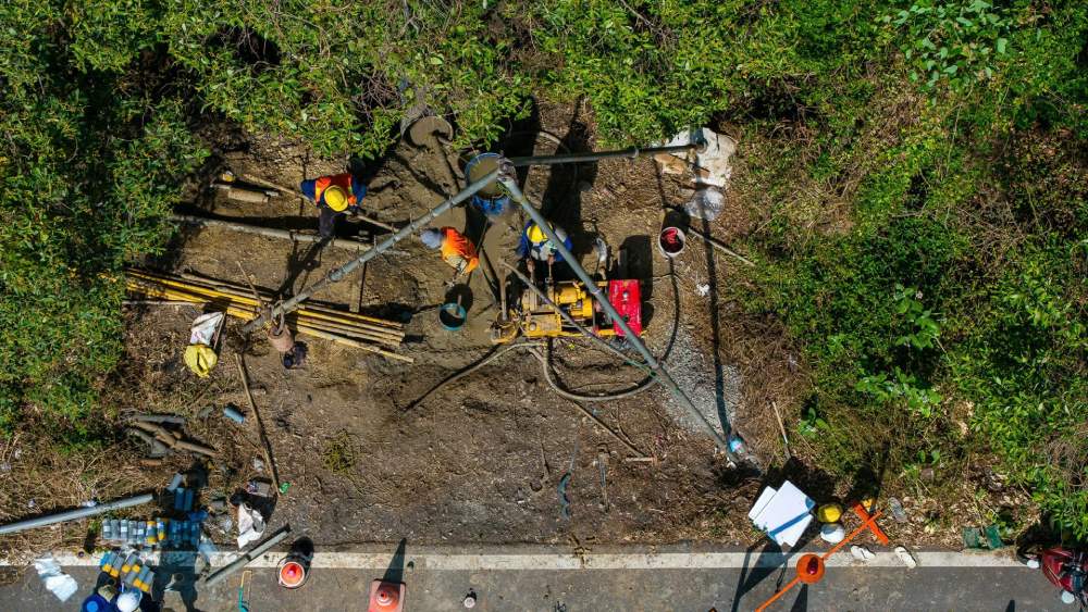
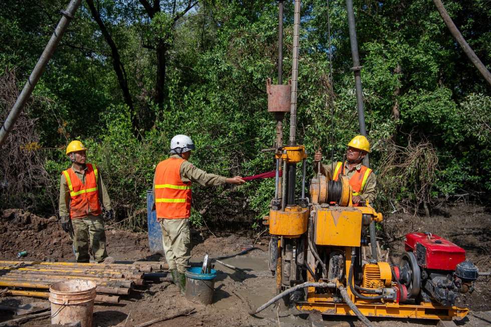
Geospherical exploration drilling activities at the site are an important step to collect accurate technical data, as a basis for calculating the optimal foundation structure plan for the railway project connecting the central area of Ho Chi Minh City with the southern sea.
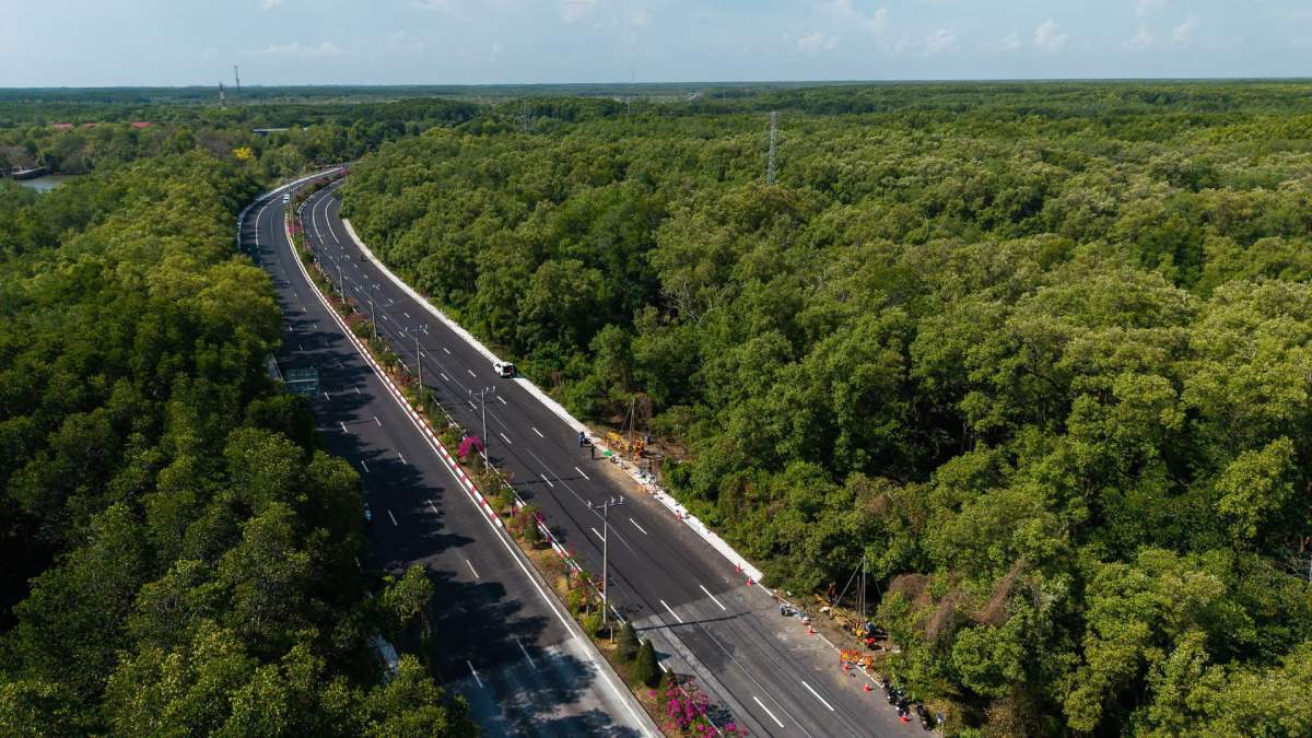
The survey construction closely follows the existing Rung Sac traffic axis as a result of the project's flexible route adjustment plan to protect the natural environment. Although it is expected to pass through a part of the protection forest area, the metro line is designed strictly to completely avoid type I forests. The route only passes through the ecological restoration and conservation area and absolutely does not encroach on the core area of Can Gio Biosphere Reserve.
The actual implementation steps on the ground are following the groundbreaking event of the project on December 19, 2025. The project is identified by Ho Chi Minh City as belonging to the group of 6 priority urban railway projects to be completed before 2030.
The Ben Thanh - Can Gio Metro line is more than 54km long. The starting point of the line is in Ben Thanh area (Ben Thanh ward), the ending point is at a 39 ha land area bordering Can Gio sea encroachment tourist urban area (Can Gio commune). When put into operation, the project is expected to become a vital traffic axis, creating momentum for breakthrough socio-economic development for the region and strengthening infrastructure connectivity with localities in the Southeast region.