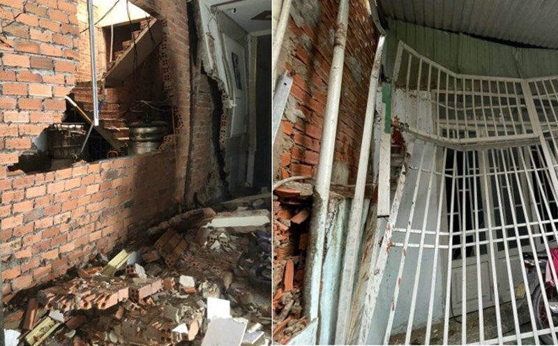
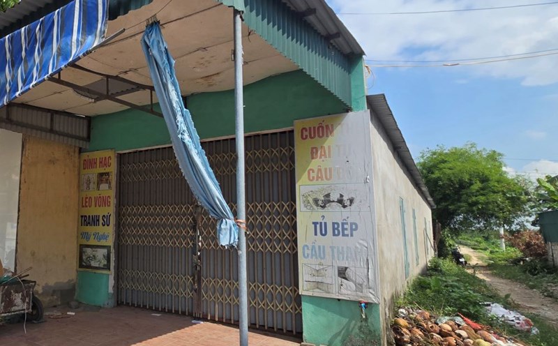
According to the National Center for Hydro-Meteorological Forecasting, last night and this morning (September 9), there was heavy to very heavy rain in the mountainous areas of the North.
Rainfall from 7pm on September 8 to 8am on September 9 was over 200mm in some places such as: Tan Phuong (Yen Bai) 324.2mm, Yen Do (Thai Nguyen) 281.6mm, Viet Tien (Lao Cai) 243.4mm, Nam Dan (Ha Giang) 230.4mm...
Heavy rain is forecasted in the next 24 to 48 hours. In the Northwest, on the day and night of September 9, there will be heavy to very heavy rain with common rainfall of 50-150mm, locally over 300mm.
During the day and night of September 10, there will be heavy rain, some places will have very heavy rain with common rainfall of 40-80mm, some places over 150mm.
In the Northeast and Thanh Hoa, on the day and night of September 9, mountainous and midland areas will have moderate rain, heavy rain, locally very heavy rain and thunderstorms with common rainfall of 40-90mm, locally over 150mm.
Flood status in the past 12 hours Floods on Thao River (Lao Cai, Yen Bai, Phu Tho), Lo River (Ha Giang, Tuyen Quang), Luc Nam River and Thuong River (Bac Giang), Thai Binh River (Hai Duong) are rising; Hoang Long River at Ben De is falling.
Water level at 7:00 a.m. on September 9, on Thao River in Yen Bai was 33.69m, 1.69m above alert level 3; on Cau River in Dap Cau was 4.73m, 0.33m above alert level 1; on Thuong River in Phu Lang Thuong was 5.47m, 0.17m above alert level 2.
On Luc Nam River at Luc Nam 6.70m, above alarm level 3 0.40m; Hoang Long River at Ben De 3.46m, below alarm level 2 0.04m; Lo River at Tuyen Quang 20.15m, below alarm level 1 1.85m;
It is forecasted that in the next 6 - 12 hours, the flood on Luc Nam River will change slowly and peak at 6.8m at noon today, 0.5m above alert level 3 and then down.
Floods on the Lo River in Tuyen Quang continue to rise rapidly, while floods on the Thao River in Lao Cai, Yen Bai and Phu Tho continue to rise slowly. The flood peak in Yen Bai is at 34m, 2m above alert level 3 this afternoon and then decreases.
Warning, from now (9.9) to 11.9, there will be a flood on other rivers in the Northern region. During this flood, the flood peak on small rivers in the northern mountainous provinces, especially in the provinces of Lang Son, Cao Bang, Bac Kan, Bac Giang, Lao Cai, Yen Bai, Hoa Binh, Son La will rise to alert level 2 to alert level 3, with some rivers above alert level 3.
The water level downstream of the Red River in Hanoi will rise rapidly, warning of the risk of flooding and the possibility of other natural disasters. There is a high risk of flooding in low-lying areas along the river in the provinces of Lang Son, Cao Bang, Lao Cai, Yen Bai, Phu Tho, Bac Giang, Bac Kan, Thai Nguyen, Hoa Binh, Ninh Binh, Thanh Hoa; flash floods and landslides on steep slopes in the mountainous areas of the North and Thanh Hoa.
Flood risk warning level: Level 3


