On the afternoon of August 14, convective clouds formed and developed in the areas of Dong Nai, Ho Chi Minh City, Tay Ninh, Dong Thap, Can Tho City, Vinh Long, An Giang...
From now until the next 4 hours, the above area and neighboring communes/wards in Lam Dong, Dong Nai, Ho Chi Minh City Tay Ninh, Dong Thap, Can Tho, Vinh Long, An Giang provinces... will have showers and thunderstorms. During thunderstorms, there is a possibility of tornadoes, lightning, hail and strong gusts of wind, flash floods on small rivers and streams, landslides on steep slopes.
Weather forecast for the next 24-48 hours, the low pressure trough with an axis over the North will gradually weaken. The low pressure trough with an axis through the South Central region will gradually strengthen into a tropical convergence zone, on the tropical convergence zone with the possibility of forming a tropical cyclone in the central East Sea area.
The southwest monsoon will operate at medium to strong intensity. Above, the subtropical high pressure in the northern branch will encroach on the West with an axis through the North of the North.
Weather forecast for the next 3-10 days, the Intertropical Convergence Zone (ITCZ) has an axis through the South Central region. On the ITCZ range, there is a possibility of forming a tropical cyclone, with a tendency to gradually strengthen and gradually lift the axis to the North, the tropical cyclone on the ITCZ is likely to strengthen.
The southwest monsoon will operate at medium to strong intensity. Above, the subtropical high pressure in the southern branch tends to encroach on the West and gradually lift its axis to the North. Around August 18, there will be an axis through the South - South Central region, from around August 19, there will be an axis through the Central Central region and then the North Central region until around August 21, and the activity will gradually weaken. The high-altitude wind convergence will operate better from around August 2.
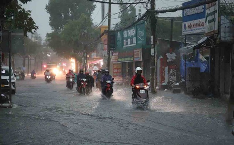
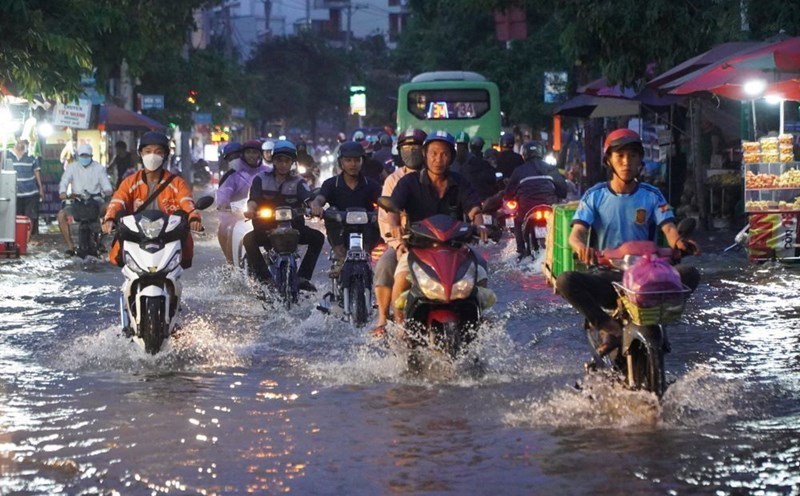
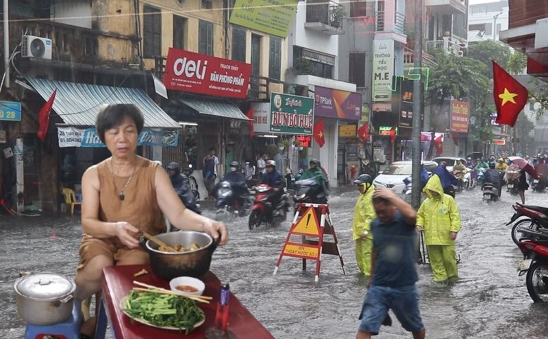
Therefore, the Southern region will have moderate rain, heavy rain, and locally very heavy rain in the next 24 to 48 hours. The heavy rain is likely to last until around August 17.
Beware of heavy rain causing localized flooding in low-lying areas and landslides along rivers. Thunderstorms accompanied by dangerous weather phenomena such as tornadoes, hail and strong gusts of wind affect agricultural production, break trees, damage houses, traffic works and infrastructure.