The Southern region will have scattered showers and thunderstorms, moderate rain, locally heavy rain. The rainfall in the past 24 hours (from 1:00 p.m. on August 12 to 1:00 p.m. on August 13.) in Vinh Dien - An Giang was 57.0 mm, Doc Vang Ha - Dong Thap was 42.8 mm, Tan My - Dong Thap was 29.2 mm, Giong Rieng - An Giang was 26.6 mm, Vi Thanh - Can Tho was 24.8 mm, Thoi Binh - Ca Mau was 22.6 mm, Thanh Tri - Vinh Long was 22.4 mm...
Weather forecast for the next 24-48 hours, the low pressure trough with an axis over the North will be compressed to the South and gradually strengthen, then have an axis over the Central region.
The southwest monsoon is gradually becoming stronger. Above, the subtropical high pressure over the southeast of mainland China will encroach on the West. The high-altitude wind convergence is operating well in the area.
Weather forecast for the next 3-10 days, the low pressure trough moving south through the Central region will gradually strengthen, connecting with the disturbance area formed off the South China Sea to the middle of the East Sea, most likely this disturbance area will gradually strengthen.
The southwest monsoon is gradually becoming stronger. The subtropical high pressure in the northern branch encroaches on the southern part of mainland China and is active. While the southern branch from August 17-18, will encroach on the West through the South of the South and then gradually lift the axis to the North.
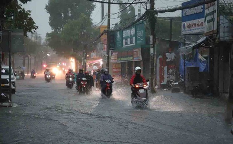
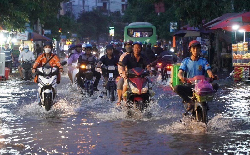
Therefore, in the next 24 to 48 hours, the Southern region will have moderate rain, heavy rain, locally very heavy rain. Total rainfall is generally 50-100 mm, in some places over 100 mm.
The heavy rain is likely to last until around August 17 in the Southern region. The total rainfall for the entire period is generally 100-200 mm, in some places over 200 mm.