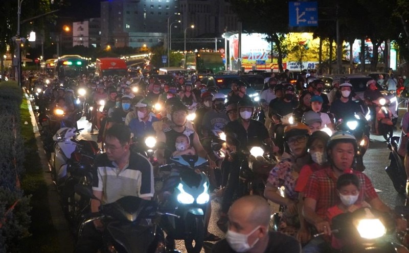
On the afternoon of April 13, through monitoring on satellite cloud photos, weather radar photos, lightning positioning showed that thunderstorms are growing causing showers and accompanied by thunderstorms and lightning in the areas of Ca Mau, Bac Lieu, Kien Giang, Hau Giang, Can Tho, An Giang and Binh Phuoc City.
In the coming hours, thunderstorms continue to grow and cause showers with thunderstorms, lightning for the above areas, then the thunderstorm clouds expand and spread to other surrounding areas.
The common rainfall is from 5-20 mm, some places are over 25 mm. During a thunderstorm to prevent whirlwinds, lightning, hail, strong winds of level 5-7 (8-21 m/s).
Forecasting the weather in the next 24-48 hours, the continental high pressure continues to move to the south, strengthening the Southern region, making the disturbances in the area more developed.
Above high, subtropical high pressure with axis through the South Central shaft slowly to the north, through Central Central.
Forecasting the weather in the next 3 days, the continental high pressure has stable intensity and weakened, the Western low pressure area operates strongly, from around 17.4 tends to expand to the East.
Above high, subtropical high pressure with a shaft through the central operation stable. From 17.4, turbulent noise on the area weakened.
Therefore, the weather in the male is strong, low humidity makes the outdoor air hot and dry, causing fire and explosion, affecting health.
On 14-15.4, there were scattered showers and thunderstorms, some places were likely to have moderate rain and heavy rain.


