
On the morning of August 2nd, Lao Cai Provincial Hydrometeorological Station said that in the past 24 hours, there have been rain, moderate rain, and heavy rain in some places with large accumulated rainfall.
Many places recorded rainfall exceeding 60 mm, such as Ban Qua 144.4 mm, Tan Tien 113 mm, Bat Xat 86.4 mm, Nghia Do 67.8 mm and Nam Muoi 2 reached 62.8 mm.
According to the analysis results from the soil moisture model, many areas in the province currently have moisture levels above 85%, even completely saturated.
This is a condition that increases the risk of flash floods on small rivers and streams; landslides on hillsides, traffic road slopes and land subsidence in areas with weak geological foundations.
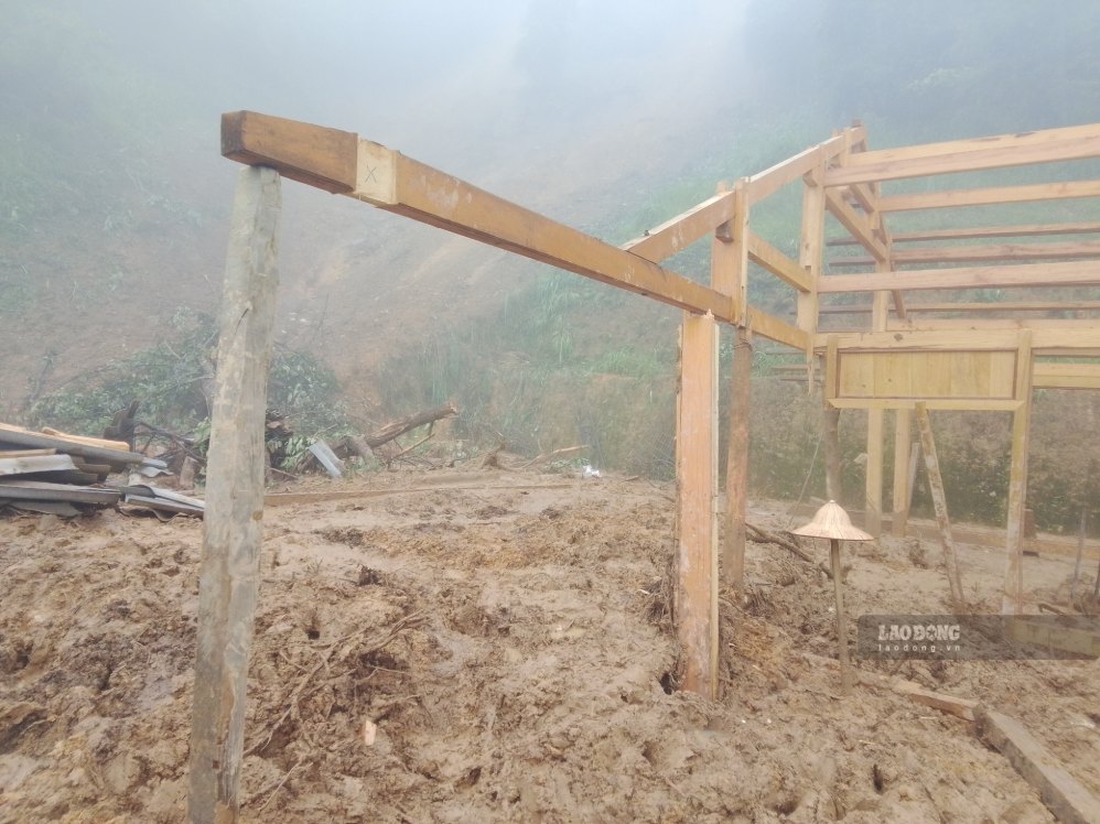
In the next 6 hours, Lao Cai is forecast to continue to have rain with common rainfall from 10-30 mm, in some places over 50 mm. Lao Cai Provincial Hydrometeorological Station has issued a disaster risk warning due to flash floods, landslides and subsidence at level 1.
According to the meteorological agency, these natural disasters can seriously affect the environment, threaten people's lives, disrupt traffic, damage infrastructure and cause damage to production and life activities.

Faced with complicated weather developments, Lao Cai Provincial Hydrometeorological Station requested localities to urgently review residential areas, villages, hamlets and key points at high risk to proactively develop response plans and be ready to relocate people when necessary.
Functional forces also recommend that people regularly update weather forecasts and warnings from functional agencies; limit movement through rivers, streams, spillways, and steep slopes when there is heavy rain.


