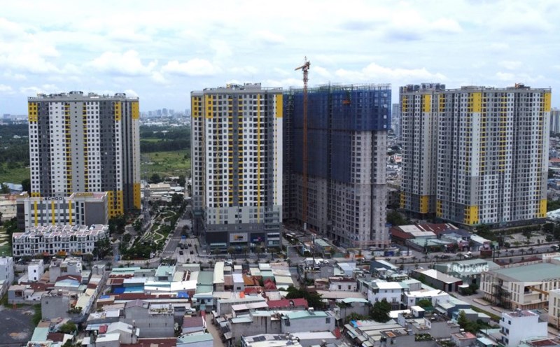
On August 18, Dong Nai City People's Committee just assigned the Department of Construction to conduct a design competition for the architectural design of the Vung Tau intersection (belonging to the elevated road project along National Highway 51 from Vung Tau intersection to Vo Nguyen Giap road intersection with Bien Hoa - Vung Tau expressway) according to the approved design task and other relevant current regulations.
According to the People's Committee of Dong Nai City, the Vung Tau intersection area, one of the key intersections with large traffic volume and complex traffic organization, congestion often occurs, significantly affecting traffic capacity and socio-economic development efficiency of the area.
The elevated road project along National Highway 51, the section from Vung Tau intersection to Vo Nguyen Giap road intersection with Bien Hoa - Vung Tau expressway, is oriented as a strategic infrastructure solution to improve inter-regional connectivity capacity. In which, the Vung Tau intersection intersection (level II project) plays a key role, being the focal point for traffic organization and traffic diversion for the entire route.
The results of the competitive examination will be an important basis for implementing the next steps in the process of preparing and implementing construction investment projects.
According to the People's Committee of Dong Nai City, the architectural plan needs to create visual highlights from many approaches; Propose architectural lighting solutions combined with artistic lighting, ensuring traffic safety, enhancing project recognition and contributing to improving the value of urban landscape at night.
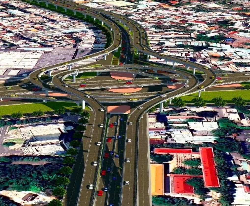
The elevated road project along National Highway 51 from Vung Tau intersection to Vo Nguyen Giap road intersection with Bien Hoa - Vung Tau expressway has a total investment of about 16,406 billion VND belonging to group A project.
The project has its starting point at Le Van Duyet street, Tran Bien ward; the ending point at Vo Nguyen Giap street, Phuoc Tan ward, with a length of about 6.2 km; of which, the length of the elevated bridge section is about 4.612km.
The project has a scale of urban main road, design speed of 80km/h, scale of 6 lanes, and expected construction time from 2026 - 2029.
The expected land use demand is about 58.19 ha. Of which Tran Bien ward is 11.43 ha; Long Hung ward is 41.62 ha; Phuoc Tan ward is 4.49 ha; Long Binh ward is 0.66 ha.
According to survey data, National Highway 51 currently has a scale of 6 lanes for motorized vehicles and 2 mixed lanes, with traffic volume reaching 136, 302 PCU/day and night, reaching about 156% of capacity, leading to some sections of the route being overloaded and frequent traffic jams.
In addition, the Bien Hoa - Vung Tau expressway is put into operation to reduce the load on National Highway 51 but will create great traffic pressure on the section of National Highway 51 from Vung Tau intersection to Vo Nguyen Giap road intersection with Bien Hoa - Vung Tau expressway.
This route section concentrates traffic volume from the National Highway 1 bypass, Bien Hoa - Vung Tau expressway and National Highway 51 to the center of Dong Nai province and through Dong Nai bridge to the center of Ho Chi Minh City with very large traffic volume.