Weather forecast for the next 24-48 hours, the tropical convergence zone with an axis through the Central region connecting with Typhoon Ragasa in the eastern sea of the Philippines will move northwest and is likely to strengthen and enter the East Sea.
The southwest monsoon has medium to strong intensity. Above, the southern branch of the subtropical high pressure continues to encroach on the West and has an axis across the South.
Weather forecast for the next 3-10 days, Typhoon Ragasa will enter the East Sea around the night of September 22-23, becoming Typhoon No. 9. The tropical convergence zone with an axis through the Central region will become active again, connecting with storm No. 9 in the North East Sea.
The southwest monsoon will operate at medium to strong intensity. Above, the southern branch of the subtropical high pressure has an axis across the South and weakens.
Around September 27-30, a wind convergence zone will form in the eastern sea of the Southern region, tending to move west towards the mainland of the Southern provinces.
Therefore, from September 22-25, the South will have clouds changing to cloudy, with intermittent sunshine during the day, showers and thunderstorms in many places in the afternoon and evening, scattered moderate rain, and heavy rain in some places.
Beware of thunderstorms accompanied by dangerous weather phenomena such as tornadoes and strong gusts of wind affecting agricultural production, breaking trees, damaging houses, traffic works, and infrastructure.
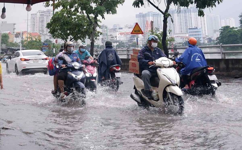
Heavy rain causes flooding in urban areas with poor drainage capacity, affecting traffic, flooding in low-lying areas affecting crops.