Weather forecast for the next 24-48 hours, the low pressure trough will be compressed and gradually move south with an axis through the North. The southwest monsoon will operate at medium intensity.
Above, the subtropical high pressure with an axis through the South Central region will continue to encroach on the West and gradually lift its axis to the North, through the Central Central region.
Weather forecast for the next 3-10 days, the low pressure trough will have an axis through the North, around August 7 it will weaken and fade away, from around August 8-9, a low pressure trough with an axis will form at about 25-28 degrees North latitude after gradually moving to the South.
The southwest monsoon will operate at a weak - moderate intensity, from August 10 it will gradually strengthen. Above, the subtropical high pressure will continue to gradually lift its axis to the North, crossing the North Central region, and will gradually weaken from around August 9. The high-altitude wind convergence will operate better from around August 10.
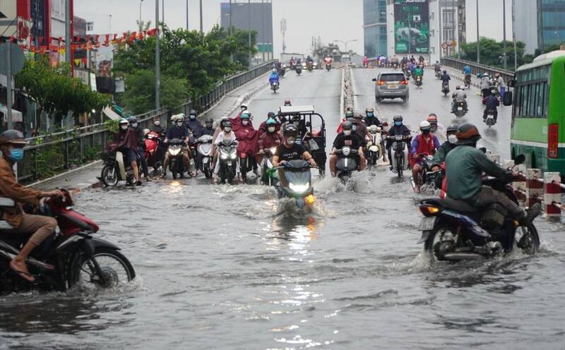
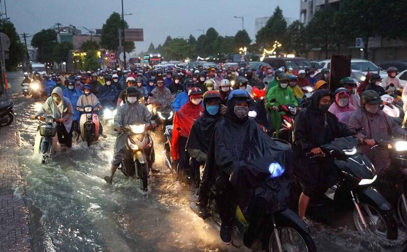
Therefore, the weather in the South from August 6-10, the clouds will change to cloudy; sunny days, sometimes intermittent sunshine; In the afternoon and evening, there will be scattered showers and thunderstorms, some places will have moderate rain, locally heavy rain.
Beware of heavy rain causing localized flooding in low-lying areas and landslides along rivers. Thunderstorms accompanied by dangerous weather phenomena such as tornadoes, hail and strong gusts of wind affect agricultural production, break trees, damage houses, traffic works and infrastructure.