On the afternoon of August 1, through monitoring on satellite cloud images, lightning positioning data and weather radar images, convective clouds formed and developed in the areas of Dong Nai, Ho Chi Minh City, Tay Ninh, Dong Thap, Vinh Long.
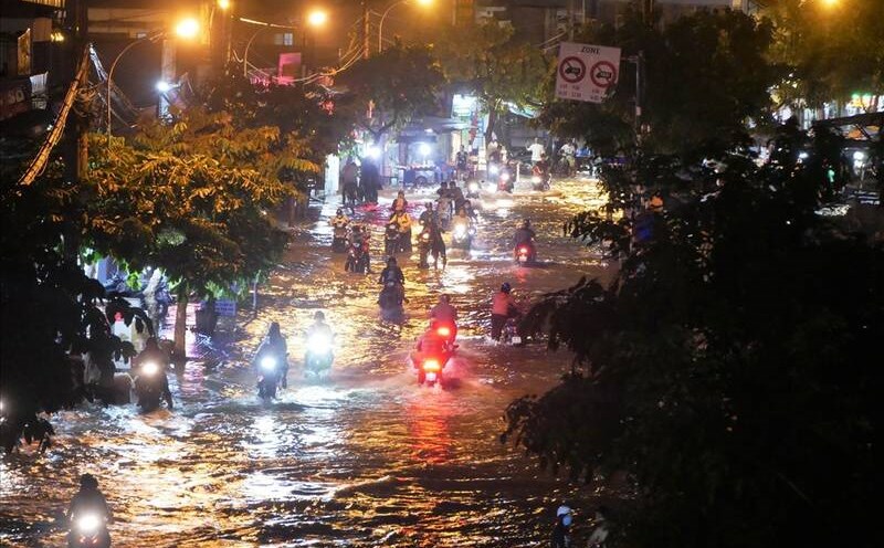
From now until the next 4 hours, these convective cloud pockets will cause showers and thunderstorms in the above areas, then expand to neighboring communes/wards and other areas. During thunderstorms, there is a possibility of tornadoes, lightning, hail and strong gusts of wind, flash floods on small rivers and streams, landslides on steep slopes.
Weather forecast for the next 24-48 hours, the low pressure trough has an axis at about 23-26 degrees North latitude. The southwest monsoon will operate at a slightly reduced intensity, generally at an average level.
Above, the subtropical high pressure in the southern branch tends to encroach on the West and gradually lift its axis to the North, sailing through the South.
Weather forecast for the next 3-10 days, the low pressure trough with an axis at about 23-26 degrees North latitude connects with the hot low pressure area in the West to develop and expand to the Southeast. The southwest monsoon will operate at medium intensity.
Above, the subtropical high pressure in the southern branch will continue to encroach on the West and gradually lift its axis to the North, passing through the South - South Central region, from around August 05-06 there will be a cross- axis through the Central Central region.
Therefore, the rain in the Southern region will decrease, mainly concentrated in the late afternoon and evening. Thunderstorms accompanied by dangerous weather phenomena such as tornadoes, hail and strong gusts of wind affect agricultural production, break trees, damage houses, traffic works and infrastructure.