Weather forecast for the next 24-48 hours, the low pressure trough with an axis over the Northern region will gradually weaken, at the same time, the hot low pressure area in the West tends to develop and gradually expand to the East. The southwest monsoon has an average intensity. Above, the subtropical high pressure weakens and gradually retreats to the East.
Weather forecast for the next 3-10 days, the formation of an axis-laden low pressure trough over the Northern mountainous region connecting with a tropical cyclone in the Northern Philippines is likely to move into the North East Sea and gradually strengthen.
The southwest monsoon will operate at an average intensity, from around July 19-20, the wind will gradually increase in intensity. Above, the subtropical high pressure weakens and gradually retreats to the East.
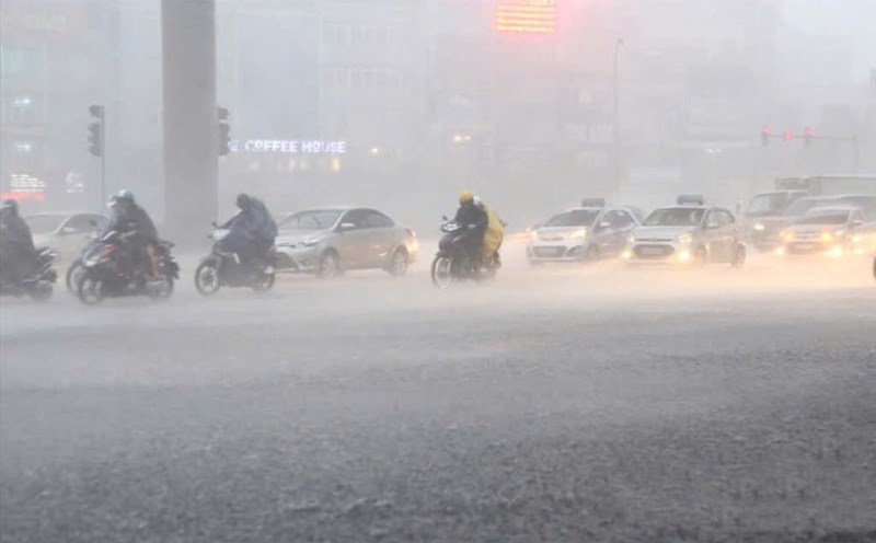
Therefore, showers and thunderstorms will continue to persist in the South in the late afternoon. On July 17-18, there is a possibility of rain in many places, with moderate to heavy rain in some places. During thunderstorms, beware of thunderstorms, tornadoes, hail and strong gusts of wind, as well as heavy rain causing flooding.