Currently, the low pressure trough with an axis at about 23-25 degrees North latitude is being compressed, pushing the fluid down to the South. The equatorial trough will gradually strengthen and lift its axis to the North.
Around mid- to late weekend, the low pressure trough will have an axis at about 18-20 degrees North latitude and the southwest monsoon will gradually strengthen the weather in the area.
Above, the subtropical high pressure will have an axis passing through the Central region and gradually lift its axis to the North and operate at a relatively stable intensity over the next 10 days.
Therefore, next week, the Southern region will have more rain in terms of area, amount and number of rainy days compared to last week. Hot weather and frostbite also decreased significantly.
On May 11-13, there will be scattered rain in many places, some places will have heavy to very heavy rain. The highest temperature is commonly 32-34 degrees Celsius; the lowest temperature is 24-25 degrees Celsius.
On May 14-15, the rain will decrease compared to December 11-25, but there will still be scattered showers and thunderstorms, some places will have moderate to heavy rain; the rain will decrease but the weather will not be too hot. The highest temperature increases by 1-2 degrees Celsius, commonly 33-34 degrees Celsius; the lowest temperature is 24-26 degrees Celsius.
On May 16-18, the area will have scattered showers and thunderstorms. The temperature will increase, the highest is generally 34-35 degrees Celsius, some places will be over 35 degrees Celsius; the lowest temperature will be 25-27 degrees Celsius. The weather will be hot and quite hot.
From May 19-20, the rain will increase significantly in both area and volume.
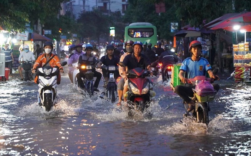
During thunderstorms, it is necessary to be on guard against tornadoes, lightning, gusts of wind, hail that can endanger people and property damage; be on guard against heavy rain and localized heavy rain that can cause deep flooding on some roads in the central area of Ho Chi Minh City.