On the afternoon of October 30, monitoring satellite cloud images, weather radar images and lightning positioning showed that the thunderstorm area was developing and causing rain with thunderstorms and lightning in the entire Binh Chau commune, Thuong Tan, Tan Uyen ward, Bac Tan Uyen, Phu Giao and the sea of Ho Chi Minh City. The sea area and clouds will move in the Southeast direction to the West Northwest.
From now until the next 3 hours, thunderstorms will continue to develop, causing showers with thunderstorms and lightning in the above areas, then expanding to other neighboring areas of Ho Chi Minh City. Rainfall is generally from 0-25 mm, in some places over 25 mm.
Weather forecast for the next 24-48 hours, the continental cold high pressure will continue to weaken slowly.
The tropical convergence zone with a transverse axis through the Southern region continues to maintain. Above, the subtropical high pressure with an axis through the North - North Central region has stable intensity.
Weather forecast for the next 3-10 days, the continental cold high pressure will strengthen again to the South of China and the North of our country, from November 5-7, it will gradually weaken, and will strengthen again on November 8.
The tropical convergence zone through the South will continue to maintain, until around November 5 onwards, it will be active and connect with the tropical cyclone that is likely to operate in the East Sea.
The West - Northwest wind has an average intensity over the Southern sea. Above, the subtropical high pressure will weaken, and around November 3-4, it will tend to encroach back to the West.
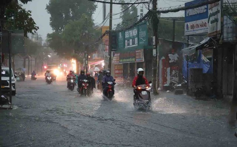
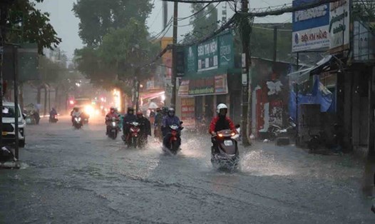
Therefore, from 1:00 p.m. on October 30 to 1:00 p.m. on November 1, the Southern region will have moderate rain, heavy rain and thunderstorms. Total rainfall is generally 70-140 mm, in some places over 140 mm.
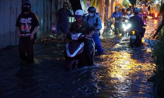
In the coming days, heavy rain will continue to occur in the Southern region, with total rainfall from 1:00 p.m. on November 1 to 1:00 p.m. on November 2 generally ranging from 40-90 mm, in some places over 100 mm.