On the afternoon of July 13, through monitoring on satellite cloud images, lightning positioning images and weather radar images, convective clouds still exist and develop in the areas of Lam Dong, Dong Nai, Ho Chi Minh City, Dong Thap, Can Tho...
In the next 4 hours, these convective cloud pockets will continue to cause showers and thunderstorms in the above area, then may expand to neighboring areas. During thunderstorms, there is a possibility of tornadoes, lightning, hail and strong gusts of wind, flash floods on small rivers and streams, landslides on steep slopes.
Weather forecast for the next 24-48 hours, the low pressure trough over the North will gradually weaken and lift its axis to the North. The southwest monsoon will operate at medium intensity.
Above, the subtropical high pressure tends to encroach to the West, converging well on the Southern region.
Weather forecast for the next 3-10 days, the low pressure area in the West will develop strongly again, around July 17-18, there is a possibility of forming a low pressure trough with an axis through the North and the middle of the East Sea.
The southwest monsoon will operate at medium intensity. Above, the subtropical high pressure will continue to encroach to the West, axis through the Central region, from around July 16, gradually lift the axis to the North, weakening and retreating to the East.
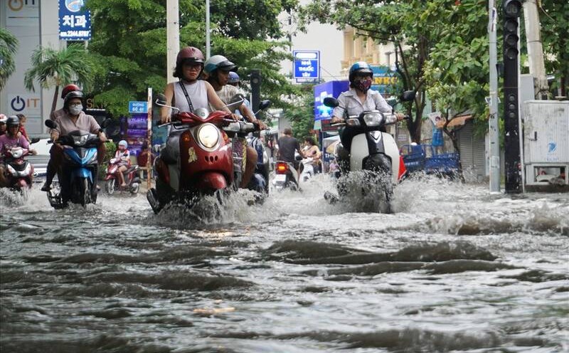
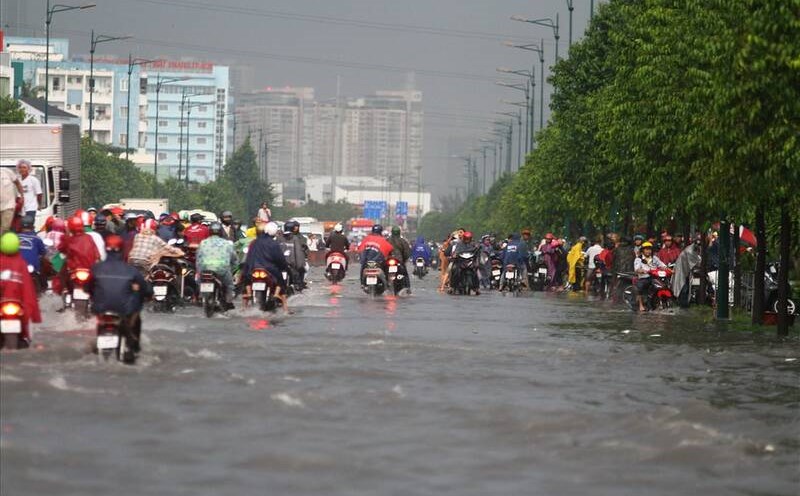
Therefore, on July 14, the rain will increase in the Southern region. After that, the rain decreased, and on July 17-18, heavy rain returned. During thunderstorms, beware of thunderstorms, tornadoes, hail and strong gusts of wind, as well as heavy rain causing flooding.