Weather forecast for the next 24-48 hours, the low pressure trough with an axis crossing the Northern region will lift its axis to the North and gradually weaken. The southwest monsoon will operate at medium intensity. The wind convergence in the Southern region is operating well.
From around July 15, the low pressure area in the West tends to develop and gradually expand to the East. Around July 17-18, the possibility of forming a low pressure trough with an axis through the North and the middle of the East Sea will gradually strengthen and the possibility of strengthening into a tropical convergence zone.
Above, the subtropical high pressure will continue to encroach on the West. The wind convergence in the area is better active from July 12-16. The southwest monsoon will operate mainly at medium intensity, from about July 17-18, with a slight increase in intensity.
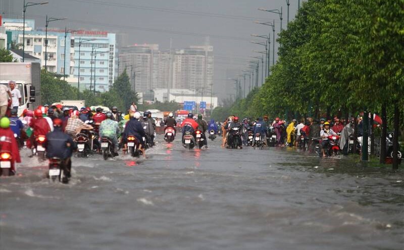
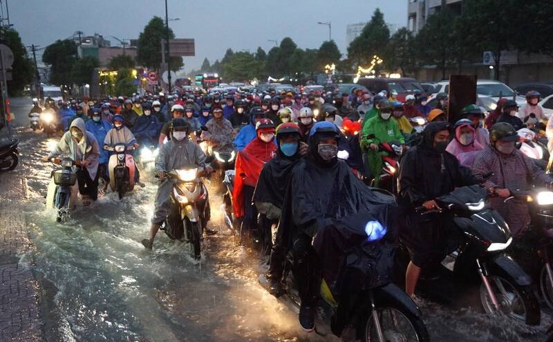
Therefore, around July 14 and July 17-18, the Southern region is likely to have rain in many places, with some places having moderate to heavy rain.
Beware of heavy rain causing localized flooding in low-lying areas. Thunderstorms accompanied by dangerous weather phenomena such as tornadoes, hail and strong gusts of wind affect agricultural production, break trees, damage houses, traffic works and infrastructure.