Weather forecast for the next 24-48 hours, the tropical convergence zone with an axis through the Central region connecting with storm No. 6 tends to slowly lift the axis to the North. Storm No. 6 moving in the West Northwest direction is likely to make landfall in the provinces from Ha Tinh - North Quang Tri tonight and gradually weaken into a tropical depression and then a low pressure area in the Central Laos area.
The southwest monsoon gradually reduces the intensity of activity. Above, the subtropical high pressure with an axis across the North of the North will encroach on the West.
Weather forecast for the next 3-10 days, the tropical convergence zone with an axis through the Central region connecting with the low pressure area weakened by storm No. 6 tends to slowly lift the axis to the North, from September 1, the tropical convergence zone will gradually weaken.
The southwest monsoon will operate at medium intensity. Above, the subtropical high pressure in the northern branch will encroach on the West with an axis through the North of the North after weakening.
Meanwhile, the subtropical high pressure in the southern branch from August 31 tends to encroach on the West and gradually lift its axis to the North, and by around September 3, the axis will pass through the South and will gradually weaken by around September 6. The high-altitude wind convergence will operate better from around September 7.
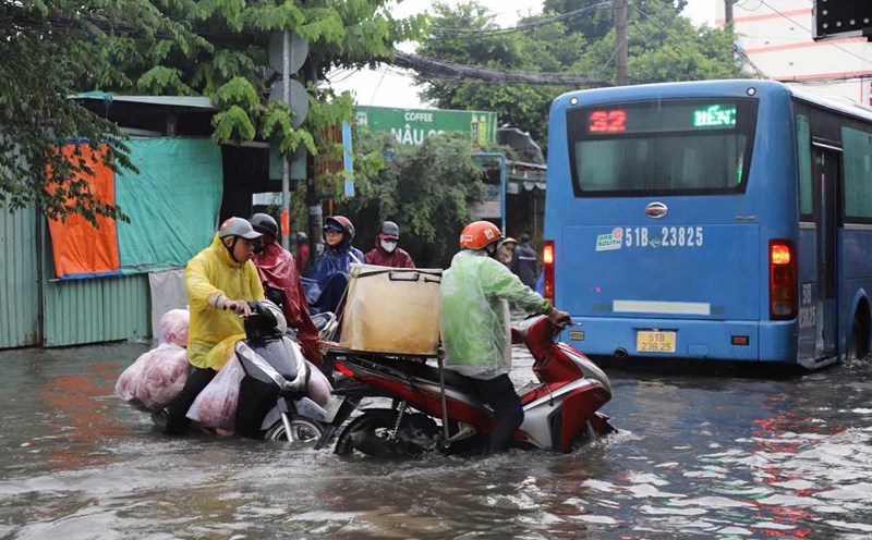
Therefore, the weather in the South from the evening of August 30 to the evening of September 1, Ho Chi Minh City and the provinces in the South will have moderate rain, heavy rain, locally very heavy rain. Total rainfall is generally 50-120 mm, in some places over 120 mm.
In the coming days, Ho Chi Minh City will continue to have moderate to heavy rain. The total rainfall for the entire period is generally 100-170 mm, in some places over 170 mm. From September 3, moderate to heavy rain is likely to decrease.