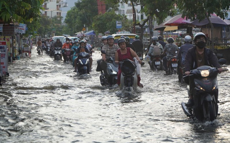
On the afternoon of November 9, thunderstorms are forming and developing in the Ho Chi Minh City area, and the Southern provinces such as Ca Mau, Kien Giang, Hau Giang...
In the coming hours, thunderstorms will continue to develop and cause showers with thunderstorms and lightning in the above areas, then thunderstorms will tend to expand and spread to other neighboring areas.
Rainfall is generally from 5-15mm, in some places over 20mm. During thunderstorms, beware of tornadoes, lightning, hail, and strong gusts of wind level 5-8 (8-21m/s).
The thunderstorms are caused by an equatorial low pressure trough with an axis at about 4-7 degrees north latitude. Storm No. 7 is active in the northeastern part of the East Sea. The upper-level easterly wind disturbance is weak.
Weather forecast for the next 24-48 hours, the continental cold high pressure controlling the Northern and Central provinces will weaken and gradually move to the East.
The low pressure trough with an axis of 4-7 degrees North latitude tends to slowly move south and gradually weaken. Above, the subtropical high pressure has an axis through the North and North Central regions.
Northeast winds are operating at moderate to strong intensity over the Southeast sea area. Storm Yinxing continues to move northward towards the East Sea.
From 72 hours, the continental cold high pressure will continue to weaken. The low pressure trough with an axis at about 4-7 degrees North latitude will weaken and fade. Above, the subtropical high pressure has an axis over the North Central region.
Northeast winds are strong in the Southeast sea area, from November 11 the wind will gradually decrease in intensity. Storm Yinxing is active in the North East Sea area, likely moving towards the Central Central region, then gradually weakening.
Therefore, the weather in the South is cloudy, with scattered showers in the afternoon and evening, with moderate to heavy rain in some places.


